
Svaneti Trekking: The Complete Guide to an 8-Day Hike From Mestia to Ushguli
Everything I wish I'd known before eight days on the trail between Mestia and Ushguli: the route, the difficulty, the food, and exactly when to go
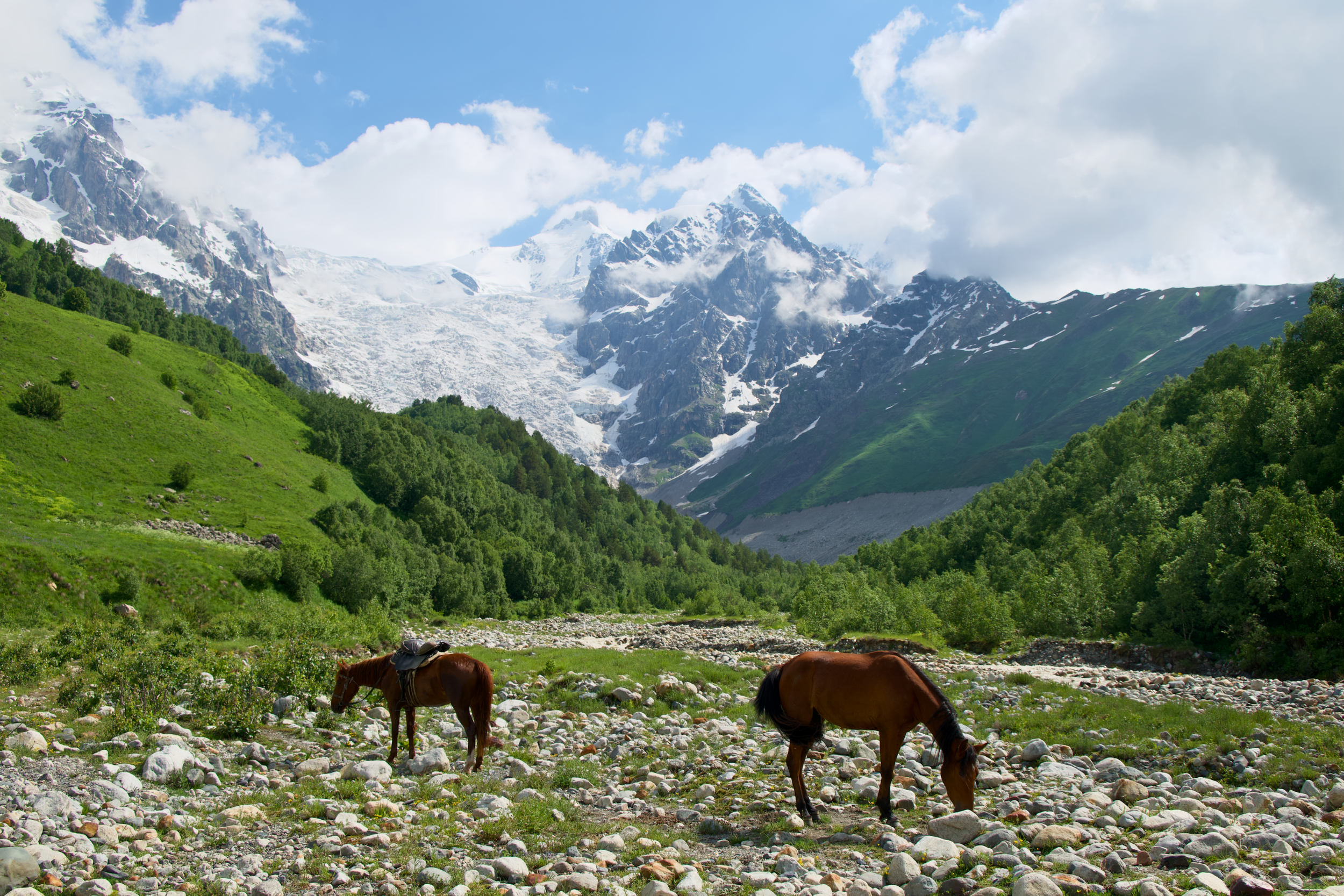
Medieval stone towers rising straight out of alpine meadows. Glaciers close enough to reach on foot without technical climbing. Villages that still run on guesthouse hospitality instead of hotel chains. That's Svaneti, a remote pocket of Georgia's Caucasus Mountains that's quickly becoming one of Europe's most talked-about multi-day treks.
I spent eight days trekking this region in mid-July, covering the classic route between Mestia and Ushguli plus the tougher extension through Mazeri and Guli Pass, where the trail gains 1,600 meters in a single day and still had patches of unmelted snow above 2,800 meters in the middle of summer. Svaneti does not ease you in, and having done it, I can tell you the reputation is earned.
This guide covers everything I wish I'd known going in: the full day-by-day itinerary with real distance and elevation numbers, how hard it is, what it costs, where you'll sleep and eat, and an entry requirement that changed for anyone visiting Georgia this year.
Quick answer: Svaneti trekking centers on the route between Mestia and Ushguli in Georgia's Caucasus Mountains. The classic version covers about 57 kilometers over 4 days; an extended version through Mazeri, Guli Pass, and Adishi stretches to 7-8 days and roughly 80 kilometers. The trail is moderate to hard, guesthouse-supported, and best hiked from mid-June through September.
What Is Svaneti, and Why Is Everyone Suddenly Talking About It
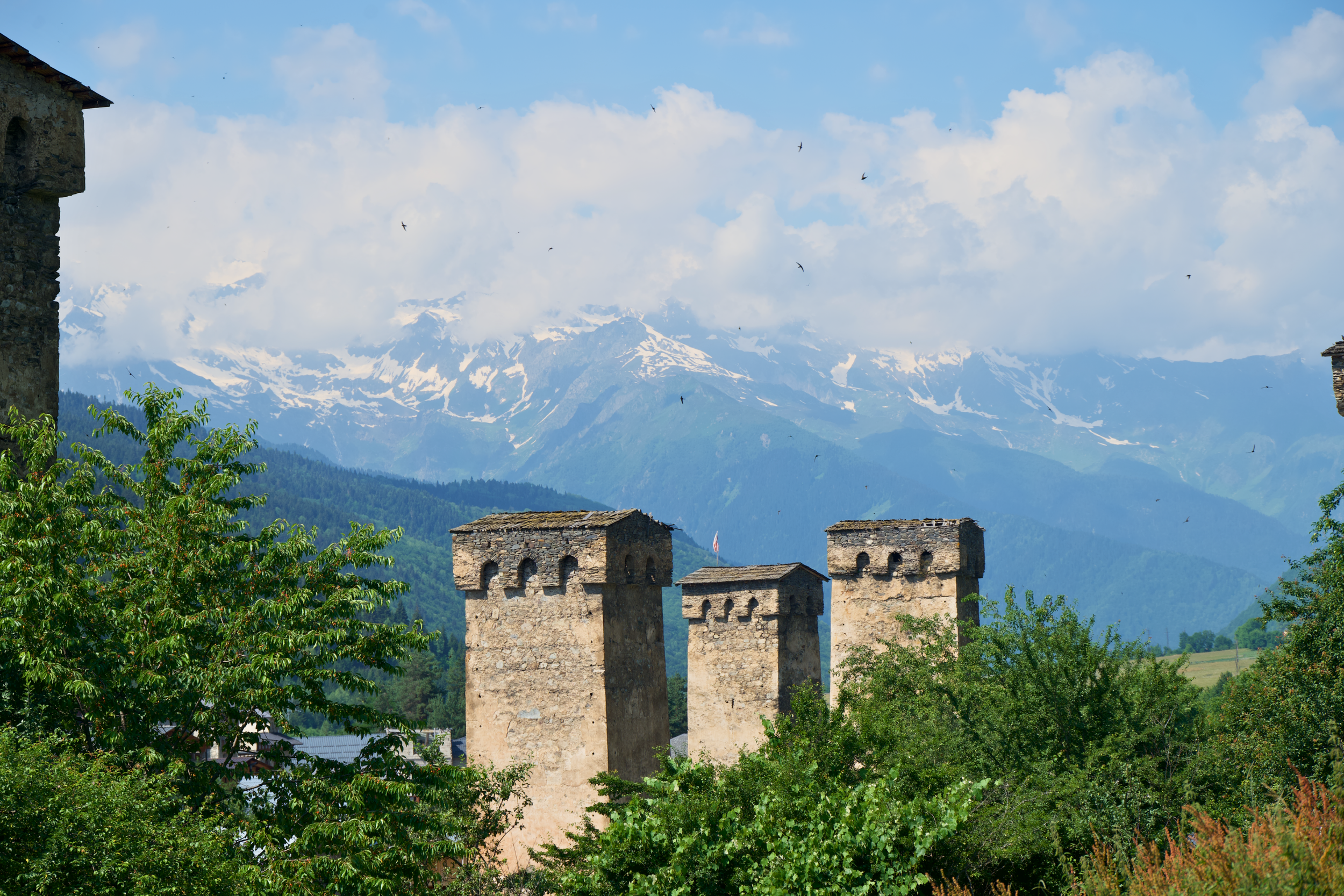
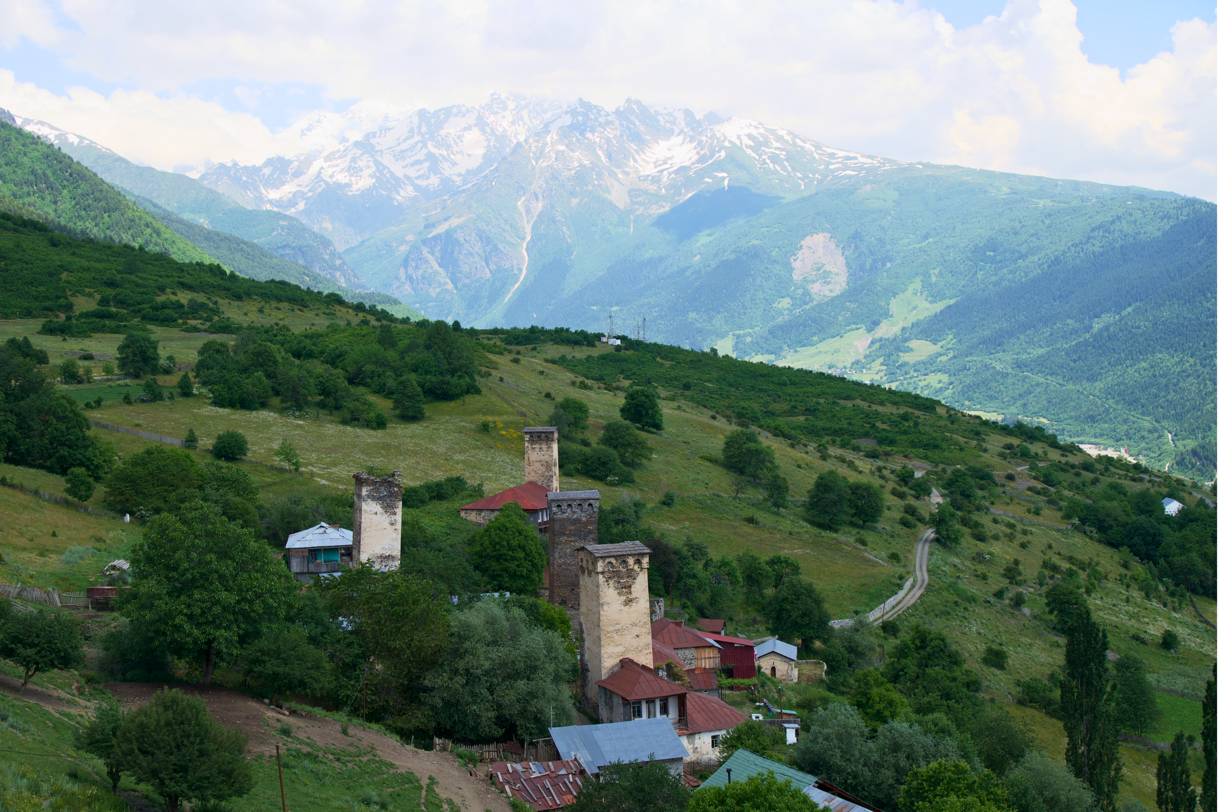
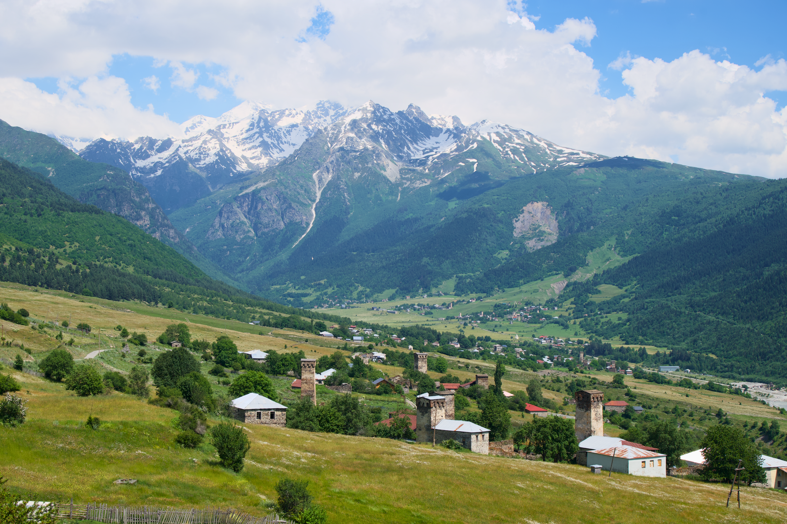
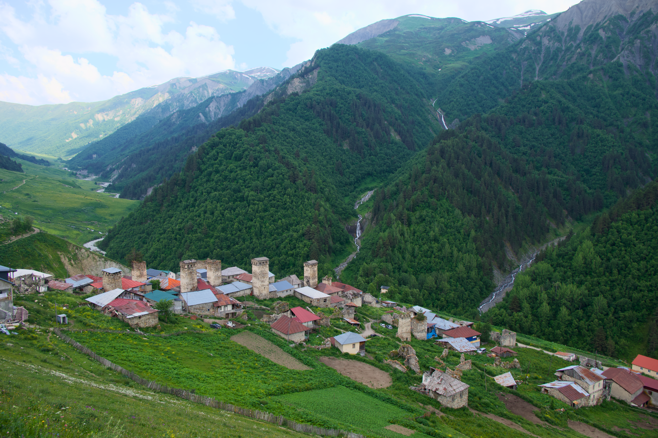
Svaneti sits in the northwest corner of Georgia, wedged into the Greater Caucasus range between Russia's border ridgeline and the lowlands around Zugdidi. For most of its history, it was reachable only by a handful of mountain passes, which is exactly why it still looks the way it does: stone defensive towers rising out of every village, some of them 900 years old, built during a medieval period when Svan clans governed themselves and answered to no lord but the Georgian king.
That isolation is also why Svaneti has become one of the most talked-about regions for hiking in Georgia:
Trail counts on the Mestia to Ushguli route dropped sharply during the pandemic, from an estimated 100-150 hikers a day down to roughly 50-75, and the numbers have been climbing back every season since
New roads have shortened the drive from Kutaisi
More guesthouses have opened along the trail
Georgia's broader tourism boom has pushed Svaneti from "hidden gem" to a fixture on serious hikers' lists for Caucasus Mountains trekking
Even at peak season, Svaneti's crowds are nowhere close to what you'd find on the Tour du Mont Blanc or a Dolomites Alta Via. You'll pass other hikers on the trail. You won't be fighting them for a guesthouse bed if you book a few days ahead.
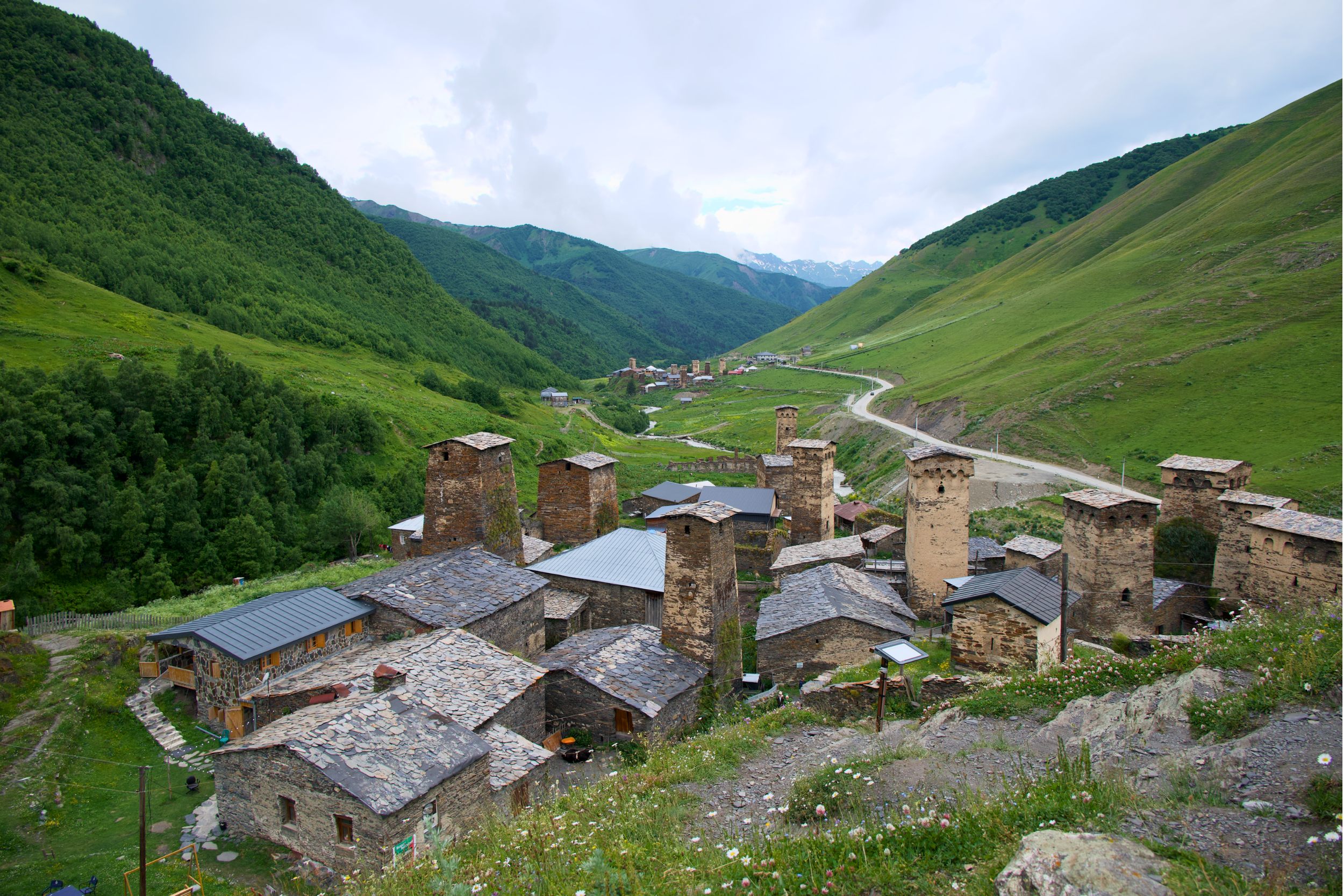
The towers are worth understanding before you go, since they show up in nearly every photo you'll take. Svan families built them as both watchtowers and refuges, tall enough to see approaching threats across the valley and sturdy enough to retreat into during clan feuds or avalanches. The Svan language itself, still spoken alongside Georgian in these valleys, is unrelated to almost anything else on earth outside the South Caucasus, one more sign of how cut off this corner of the mountains stayed for so long.
It's also, without much argument, one of the most photogenic trekking regions in Europe. If you carry a camera at all, budget extra time on the Ushguli approach and around Mazeri, where the towers and the mountains line up best in late afternoon.
Svaneti trekking at a glance:
Route: Mestia to Ushguli
Distance: 57 km classic / ~80 km extended
Duration: 4 days classic / 7-8 days extended
Difficulty: Moderate & hard days
Best season: Mid-June to September
Start/end: Mestia / Ushguli
This post contains affiliate links. If you book through my links, I may earn a small commission at no extra cost to you. It helps keep this blog going, and I only ever recommend things I'd use myself.
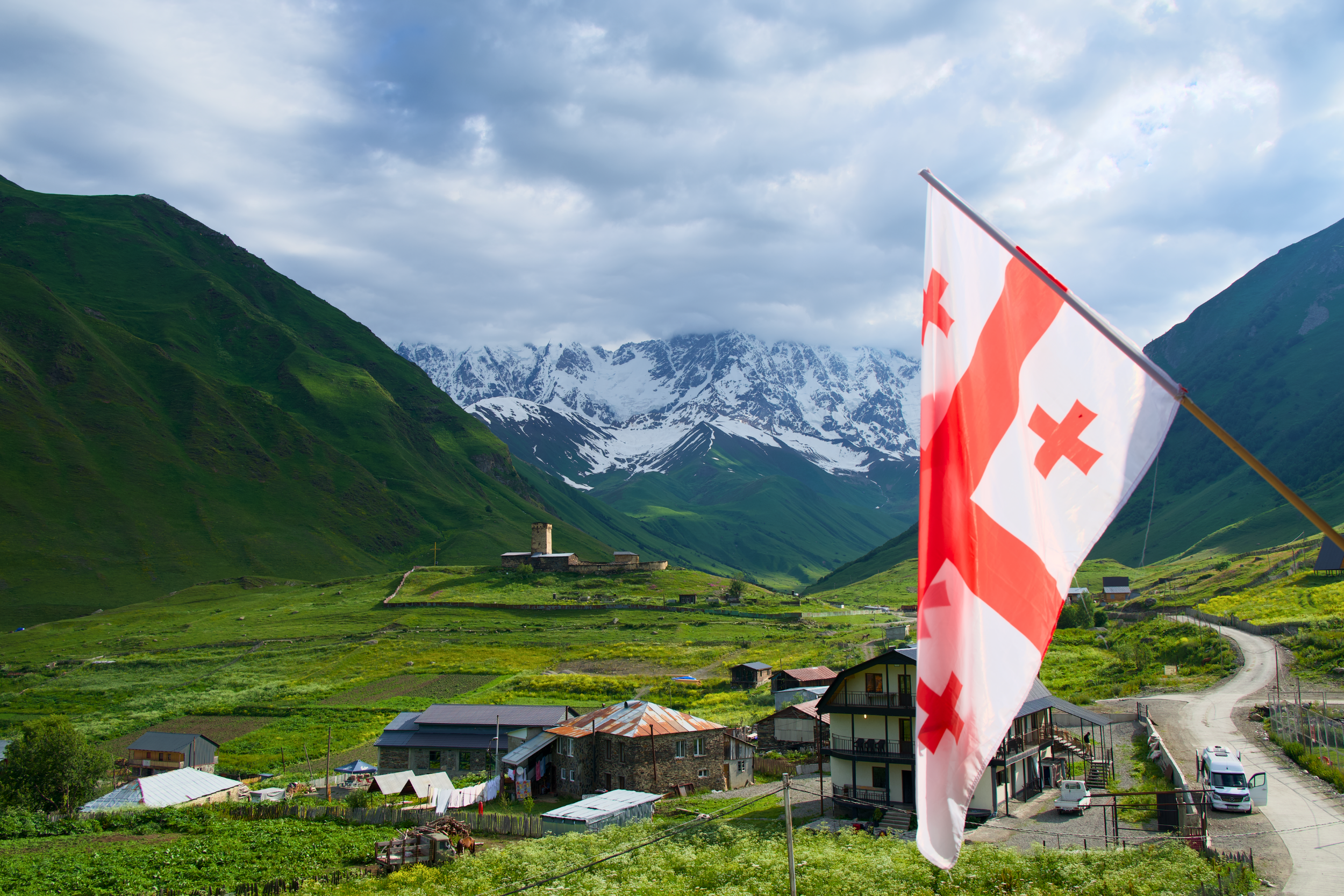
The Best Time to Hike Svaneti
If you take one thing from this section: aim for late June through August if you want maximum trail access, or September if you'd rather trade a little weather certainty for a much quieter trail.
May to early June: high passes still snowed in; only for well-prepared, experienced hikers
Late June through August: widest trail access, warmest weather, busiest guesthouses
September: fewer hikers, still-reliable weather, cooler nights
Early October: golden autumn light, but passes start closing for the season
I hiked in mid-July and would call the conditions close to ideal for the extended route: stable weather, long daylight, and only a few lingering patches of snow on the highest section of Guli Pass, which were already melting and easy enough to walk around. July and August are also when Svaneti sees the most trekking traffic, so if a quiet trail matters more to you than guaranteed warmth, shift toward September.
Georgia's weather can turn inside an hour at altitude, and the region does see landslide and flash flood risk after heavy rain, but there's a bigger reason insurance isn't optional anymore. As of January 1, 2026, Georgia requires all foreign tourists to carry health and accident insurance covering their entire stay, with a minimum of 30,000 GEL (roughly $11,000) in coverage. Border officers can ask for proof, in English or Georgian, digital or printed, and going without it risks fines or being turned away. One detail specific to this trek: standard policies often exclude activities above 2,000 meters, which covers most of the Guli Pass day, so check that your policy includes an adventure sports or high-altitude trekking add-on before you buy.
Travel Insurance
Georgia now requires anyone coming into the country to have travel insurance, so be prepared by buying it ahead of your arrival. I recommend checking out VisitorsCoverage for travel insurance.
My 8-Day Mestia to Ushguli Trek Itinerary
There's a reason most people default to the 4-day classic Mestia to Ushguli trek: it's well marked, guesthouse-supported the whole way, and spectacular in its own right. I did the extended 8-day version, which adds Mazeri, the Ushba glacier viewpoint, and the Guli Pass crossing into Mestia before joining the classic trail. Here's exactly how the days broke down, including distance and elevation for each one.
If you’re wondering how I did my trek, I booked a group tour that included a guide, transportation, guesthouses, food, and transporting your bag each night. You can book with them here.
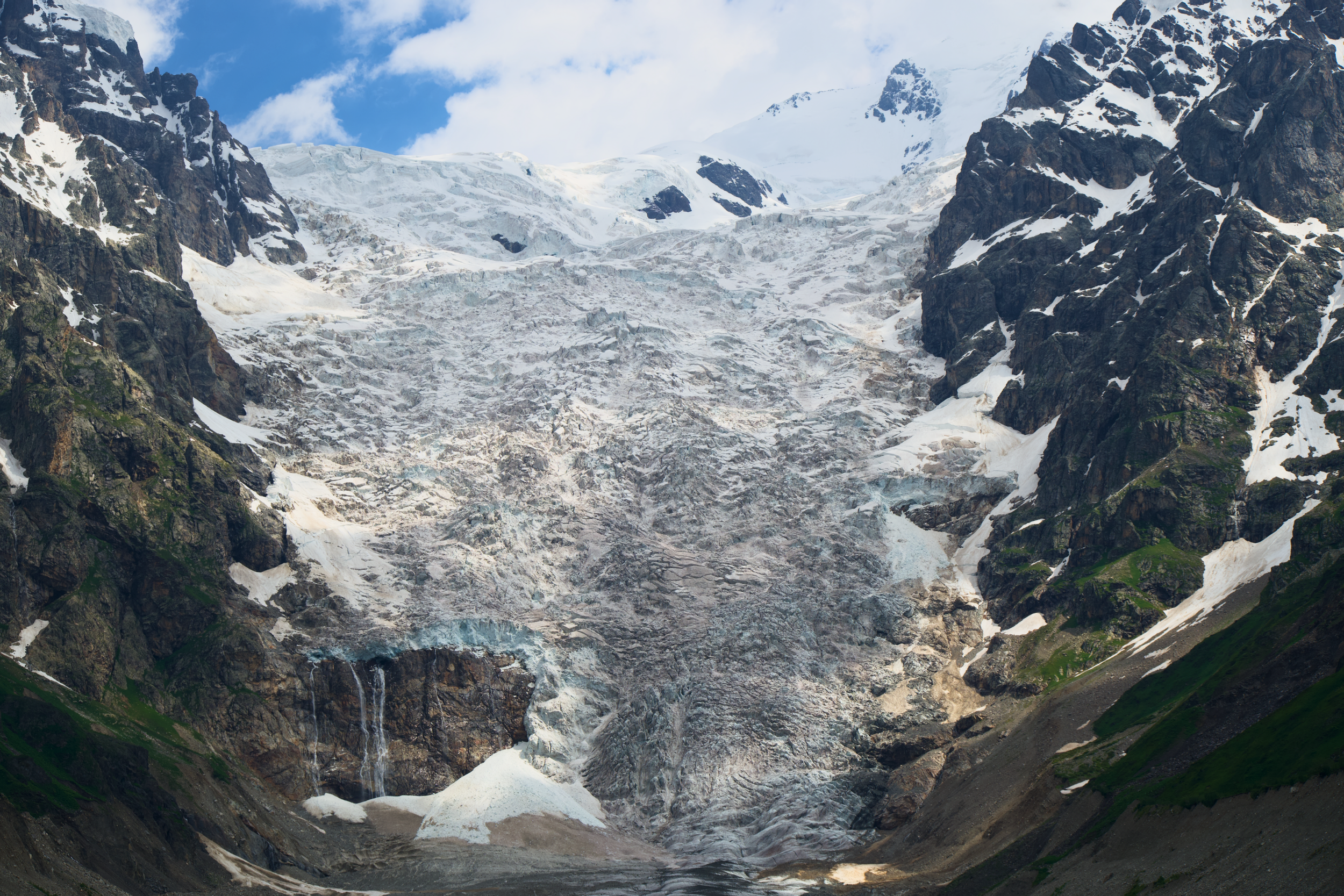
Day 1: Tbilisi to Mazeri, via the Enguri Dam
Distance: 440 km / 273 mi
Drive time: ~10 hours
The trek starts with a long drive, not a hike, and it's worth planning for that rather than treating it as a throwaway travel day. From Tbilisi, the road runs west through the Georgian lowlands before climbing into the foothills of the Greater Caucasus, with a stop at the Enguri Dam, one of the tallest concrete arch dams in the world at roughly 271 meters (890 feet). The final stretch into Svaneti is where the drive earns its reputation: narrow, winding, and dramatic, tracking a river gorge for long stretches, with cell service that comes and goes once you're past the lowlands. Expect a lunch stop somewhere around Zugdidi if you're on a guided itinerary, and an arrival in Mazeri, a quiet village at the foot of Mount Ushba, in the early evening, with just enough daylight left to catch your first real view of the peak before dinner.
Day 2: Mazeri to Ushba Waterfall and back
Distance: 12 km / 7.5 mi (out and back)
Elevation: +450 m / 1,475 ft, -450 m / 1,475 ft
Time: ~5 hours
Difficulty: Moderate
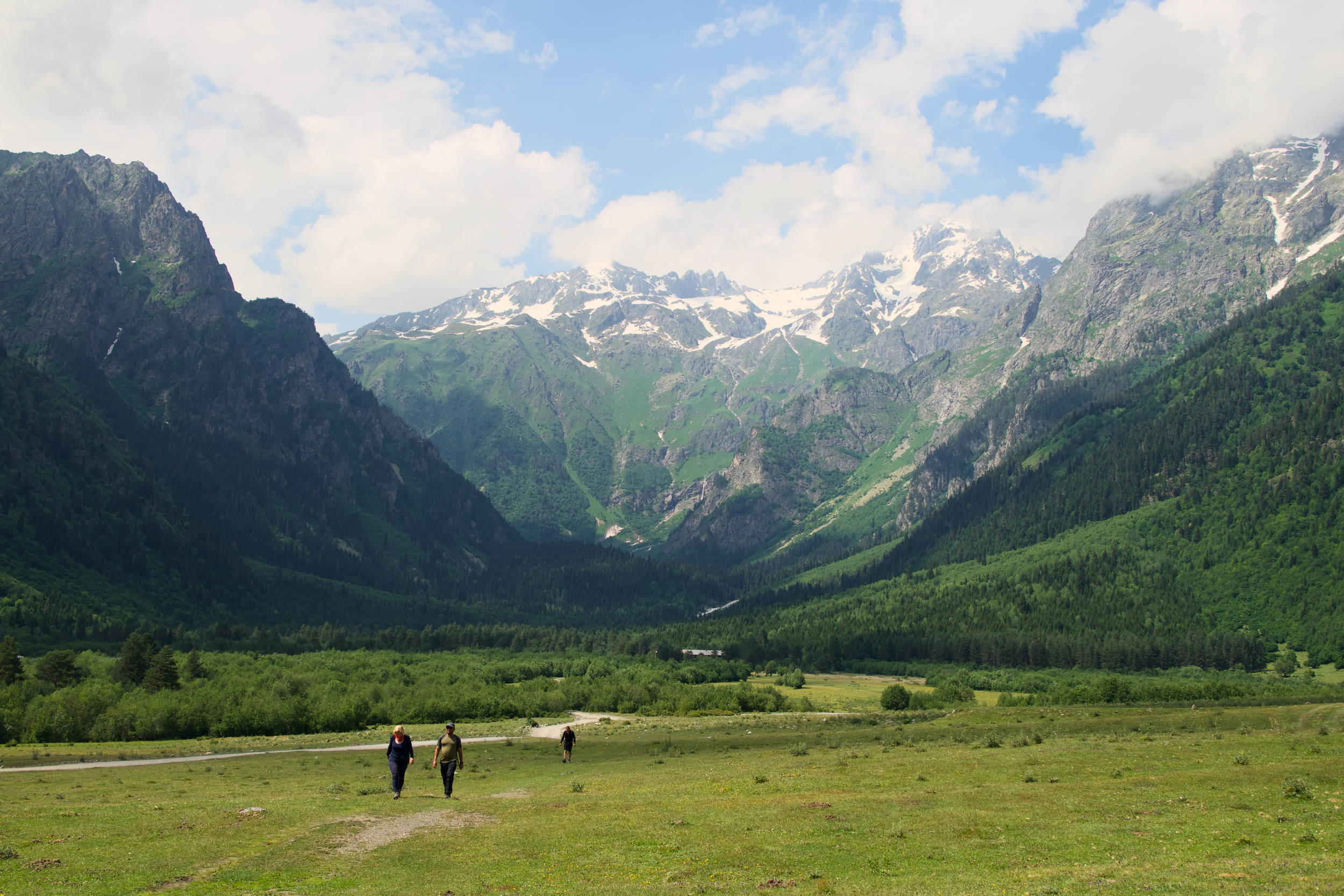
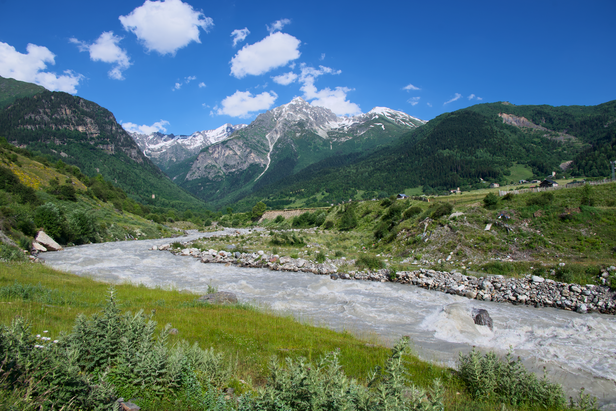
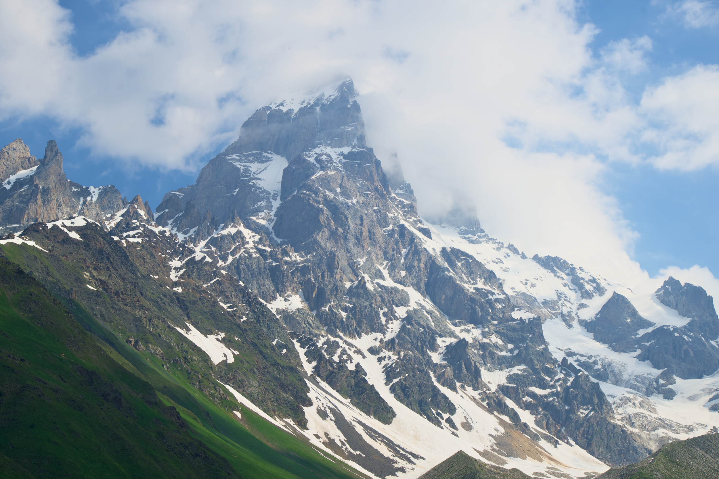
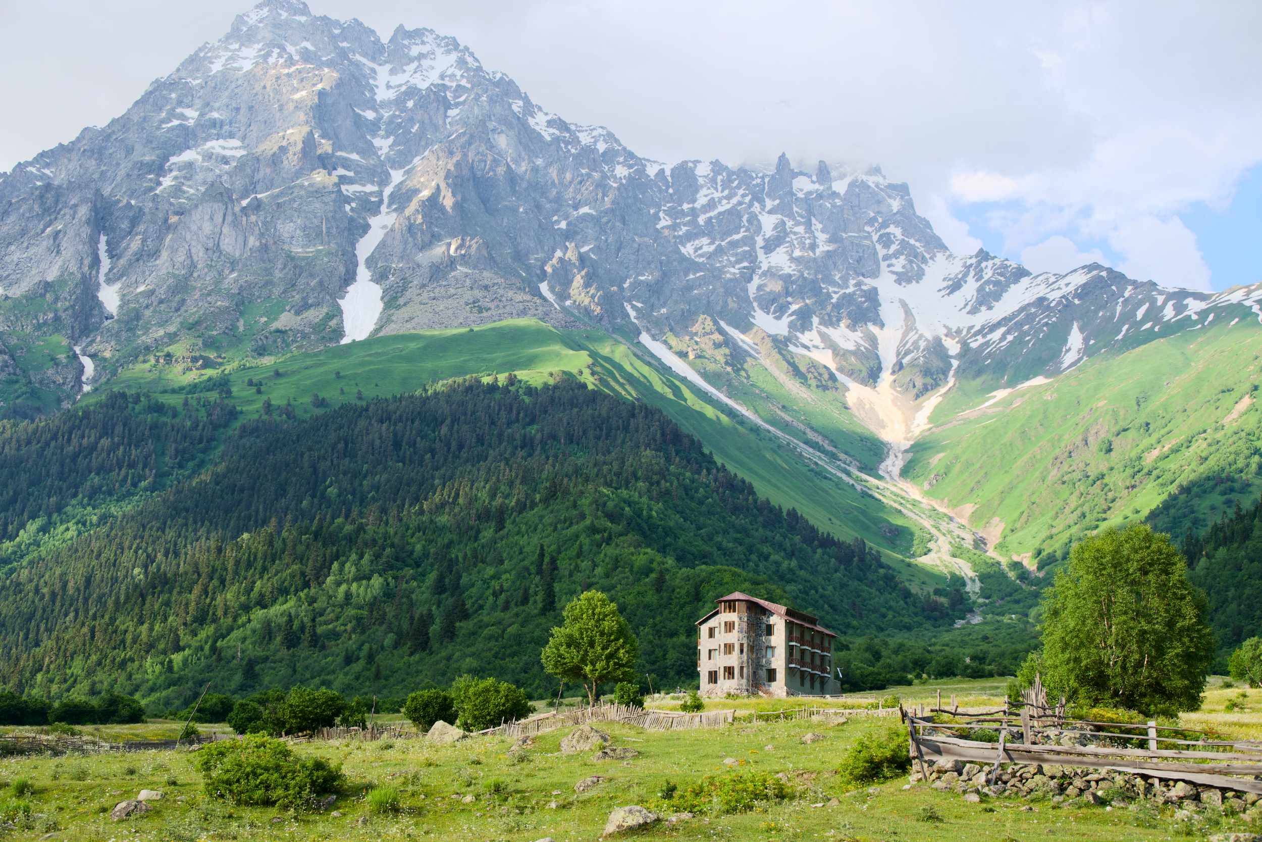
An out-and-back hike from Mazeri, following the Dolra River upstream past mineral springs and alpine meadows before climbing through pine forest toward the Ushba Glacier viewpoint, with Mount Ushba (4,710 meters / 15,453 feet), one of the most recognizable and technical peaks in the Caucasus, dominating the skyline the entire way up. Expect a gentle first hour through pasture and forest, then a steadier, rockier climb over the second half as you close in on the glacier; the trail is well trodden and easy to follow, with the mineral springs a natural rest stop. Past the waterfall, the trail edges into a border zone with Russia, and a free permit is required beyond that point; guided groups arrange this in advance, and independent hikers can apply at the tourist information center or police station in Mestia. Bring a water filter or purification tablets, since the huts and cafes common on later days haven't started yet, and treat this as a chance to find your pace before Guli Pass.
Day 3: Mazeri to Mestia over Guli Pass and the Koruldi Ridge
Distance: 16 km / 9.9 mi
Elevation: +1,602 m / 5,256 ft, -614 m / 2,014 ft
Time: ~8 hours
Difficulty: Hard
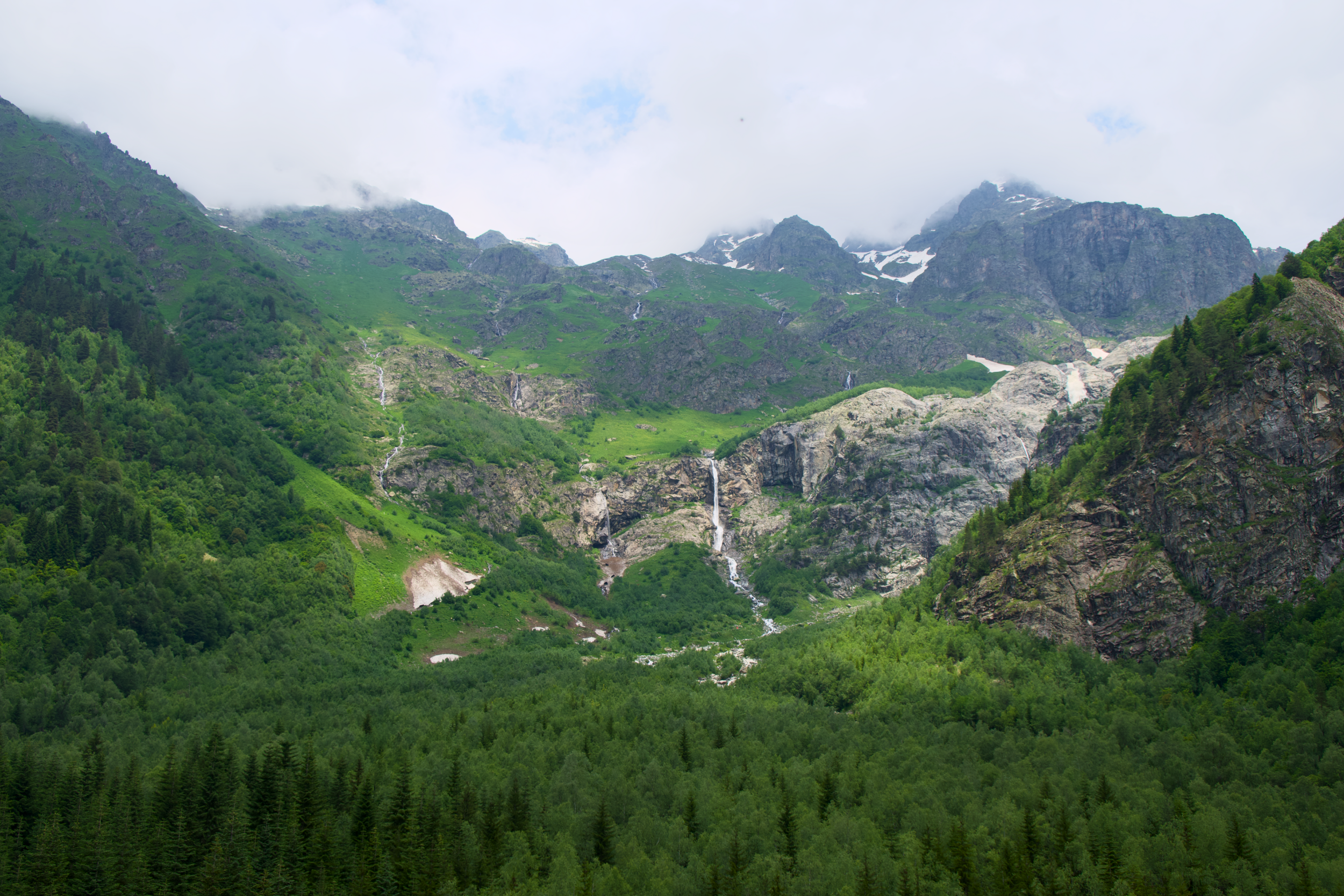
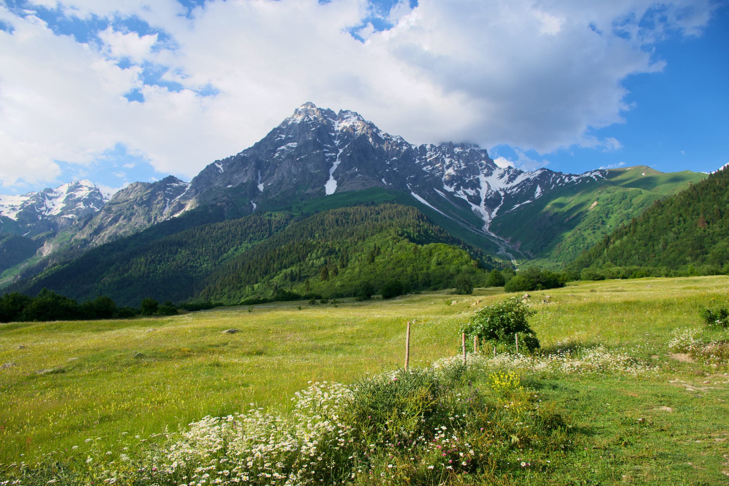
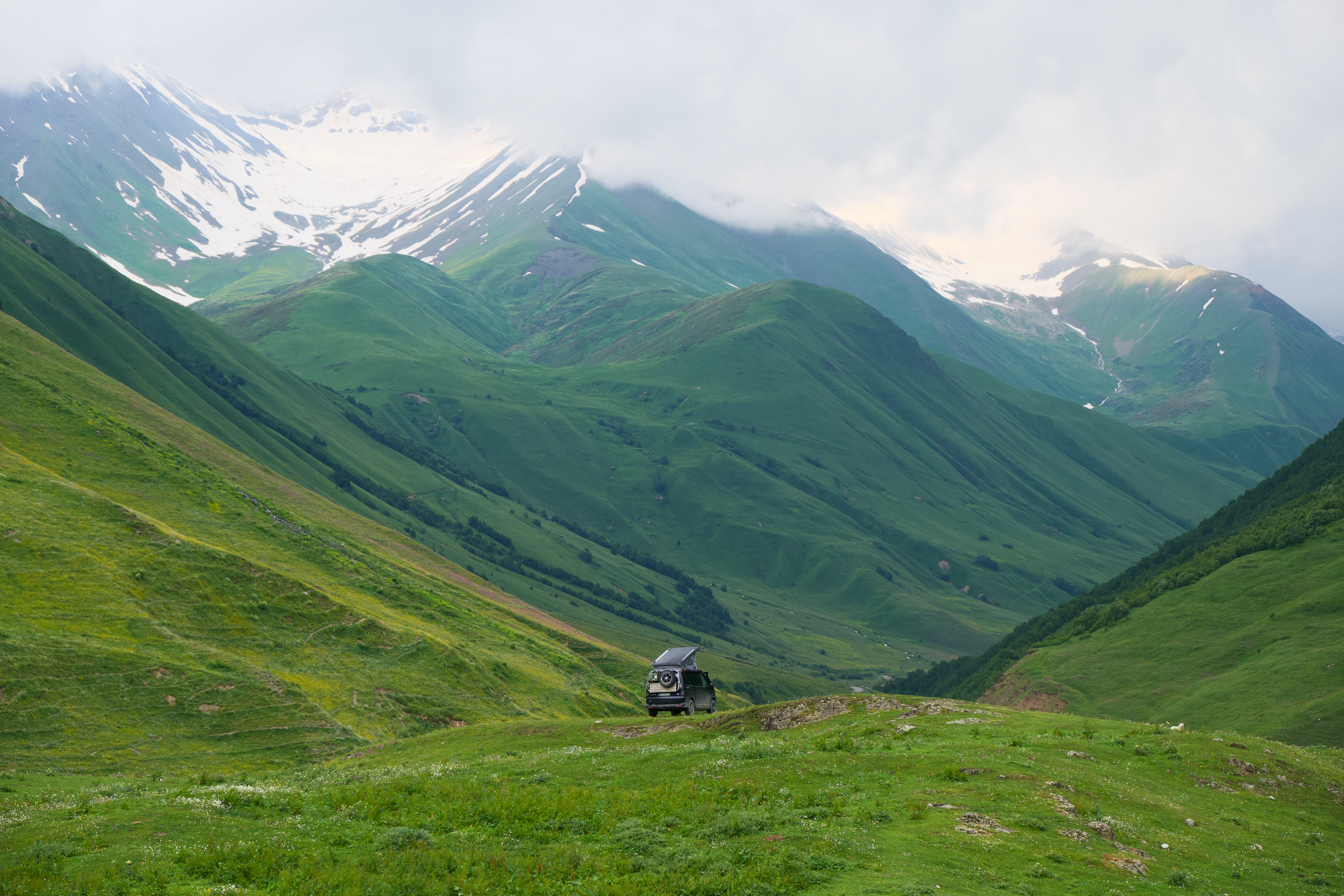
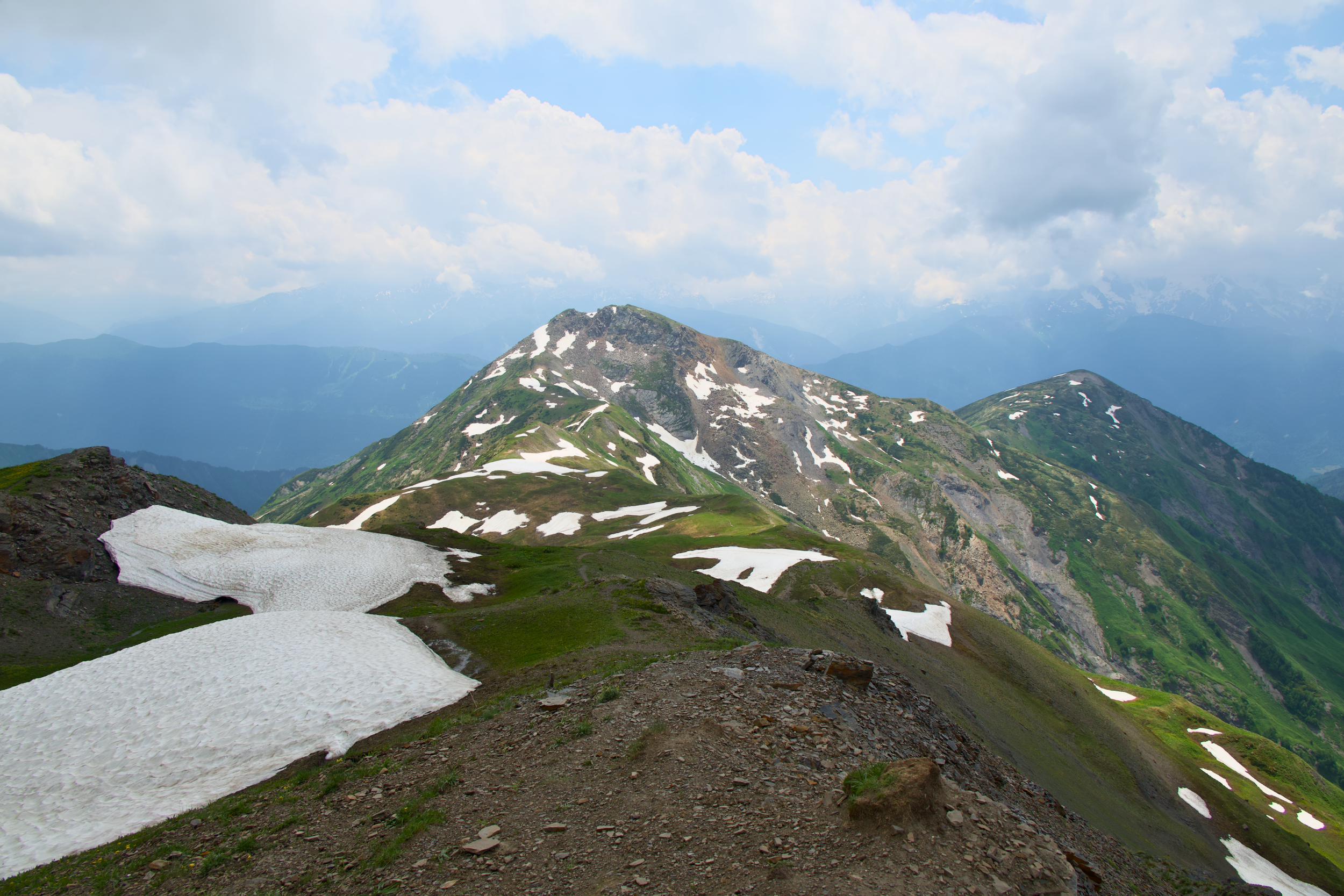
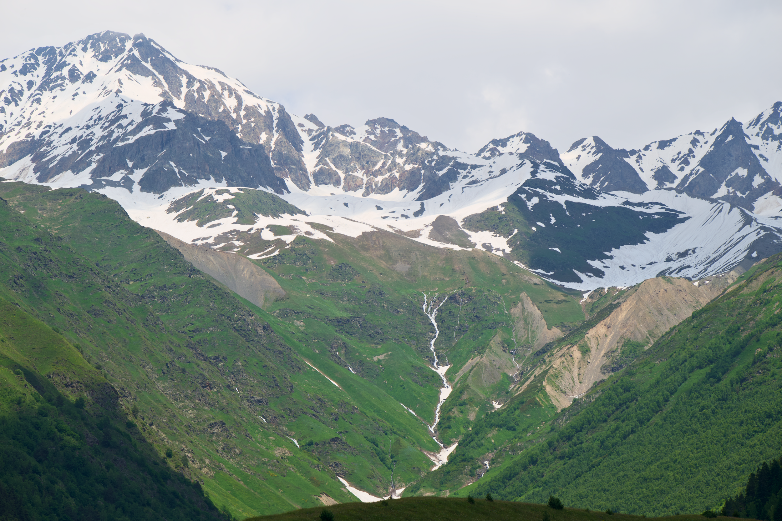
This is the hardest day of the trek, and the one I'd flag hardest for anyone planning their own itinerary. The climb to Guli Pass tops out near 2,960 meters (9,710 feet), with sustained, steep ascent, thinner trail markings than the classic route, and switchbacks through meadow that give way to looser rock and scree near the top. By mid-July there were still a few unmelted snow patches sitting near the pass, easy enough to skirt around but a reminder of how much colder it gets up there. There are no huts and no reliable water sources on this stretch, the one day on the whole trek where that's true, so carry everything you'll need before you leave Mazeri, and budget the full day; this is not one to rush. Taken slowly, with an early start, it's completely manageable, and the views back toward Ushba from the ridge are worth every meter of climbing. From Koruldi Ridge, past the small alpine lakes, most itineraries drop down by 4x4 into Mestia rather than walking the final descent, a welcome option after a day like this one.
Day 4: Mestia to Zhabeshi, the start of the classic trail
Distance: 16 km / 9.9 mi
Elevation: +635 m / 2,083 ft, -430 m / 1,411 ft
Time: ~6 hours
Difficulty: Moderate
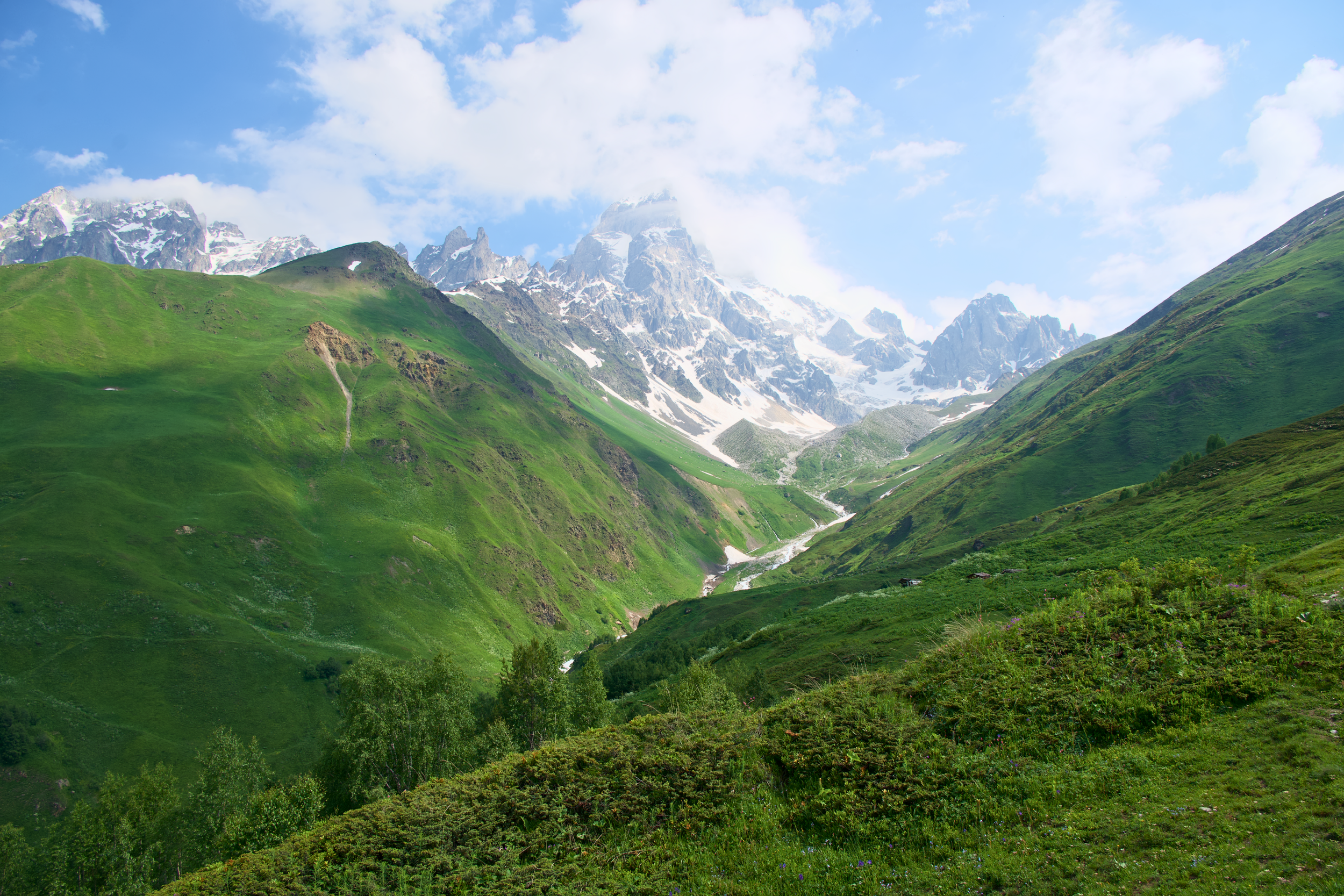
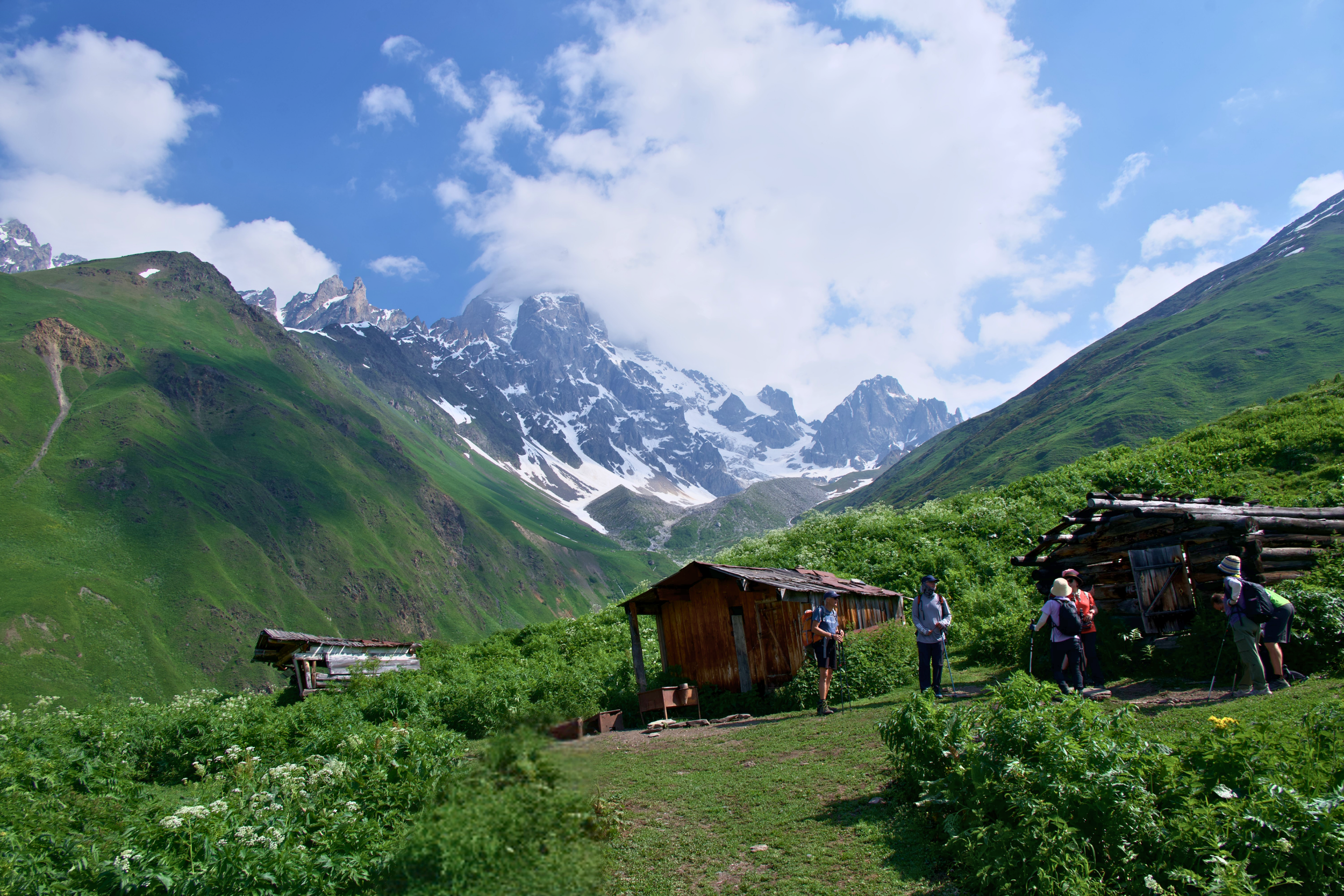
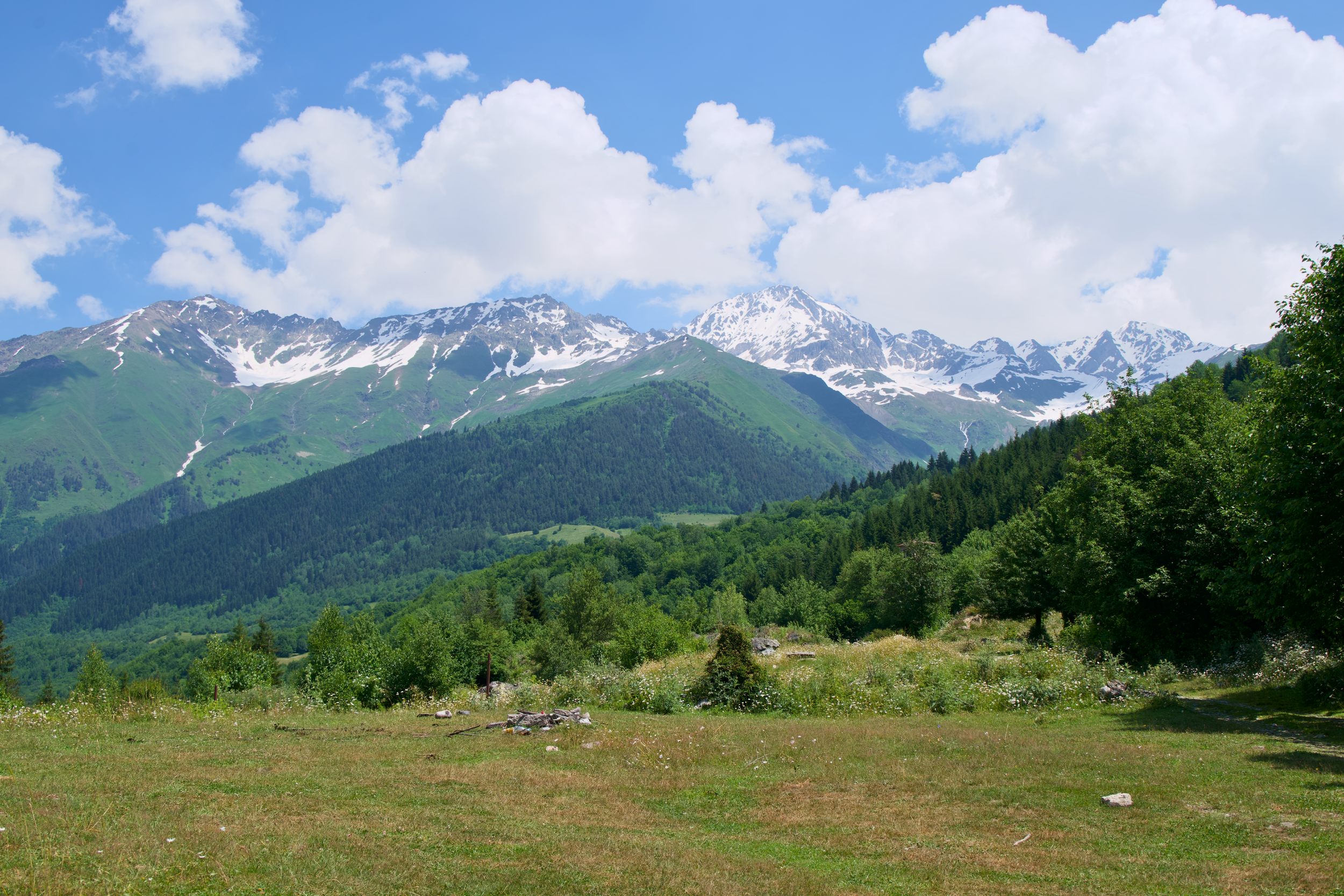
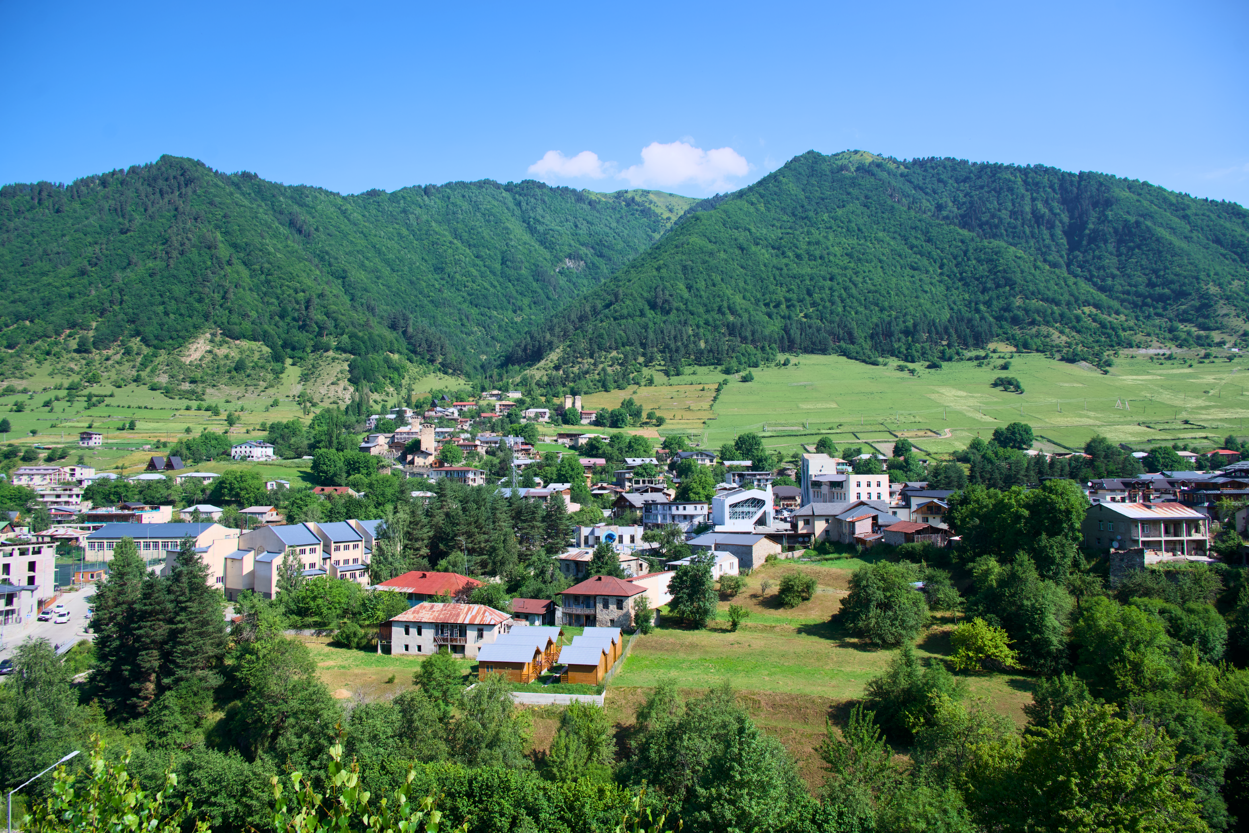
This is where the route joins the classic Mestia to Ushguli trek, and it feels like it: a short stretch of road walking out of Mestia gives way to a gradual, forgiving climb through farmland and forest, past meadows and small hamlets in the Mulakhi valley, with regular views back toward the Mestia valley. Compared to the previous day, this one plays like a recovery hike, with more frequent water sources and at least one or two huts or small shops selling snacks, tea, and cold drinks along the way. Zhabeshi itself is a scattering of towers rather than a dense village center, so don't expect much beyond your guesthouse once you arrive.
Day 5: Zhabeshi to Adishi, below Mount Tetnuldi
Distance: 12 km / 7.5 mi
Elevation: +909 m / 2,983 ft, -477 m / 1,565 ft
Time: ~6 hours
Difficulty: Moderate
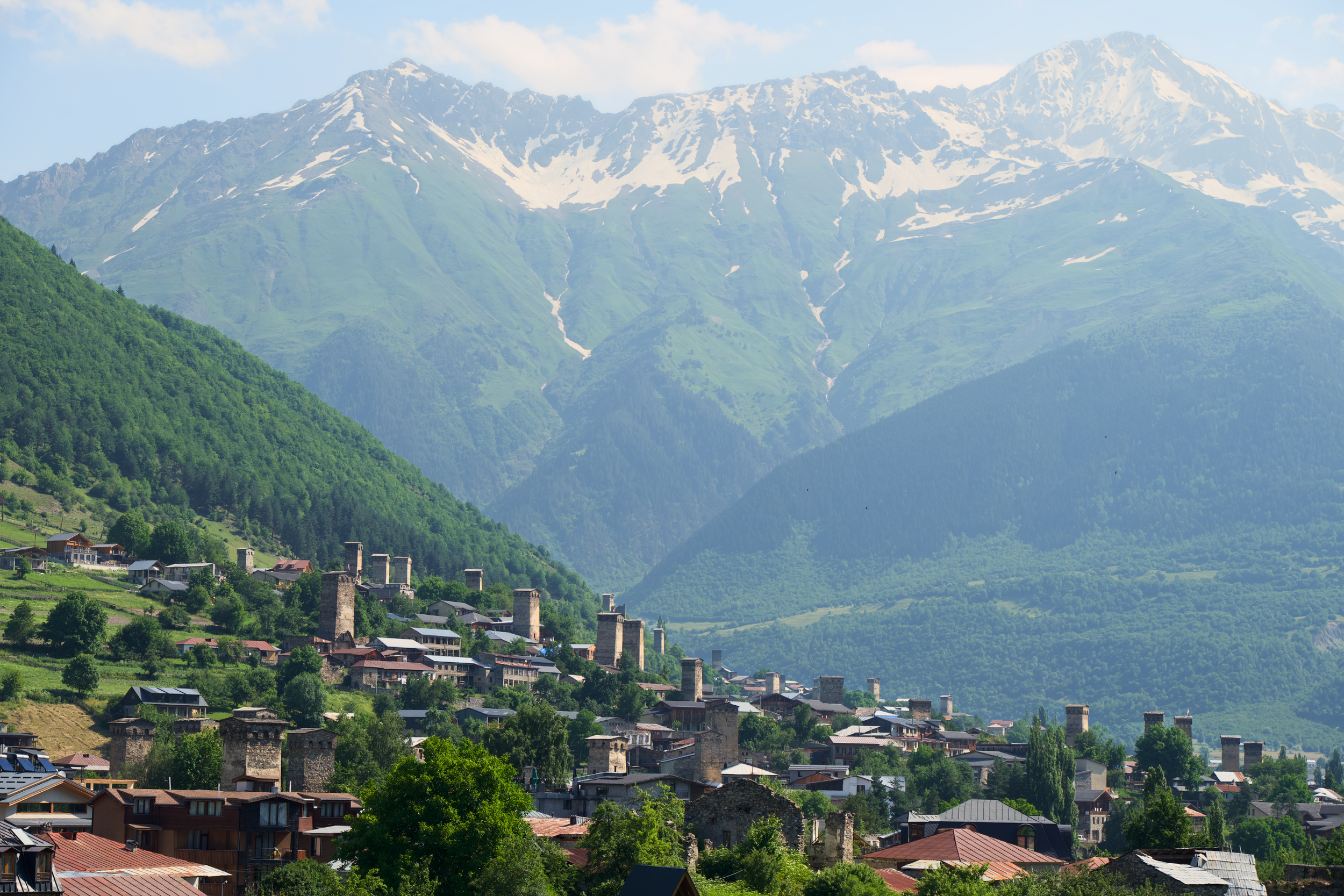
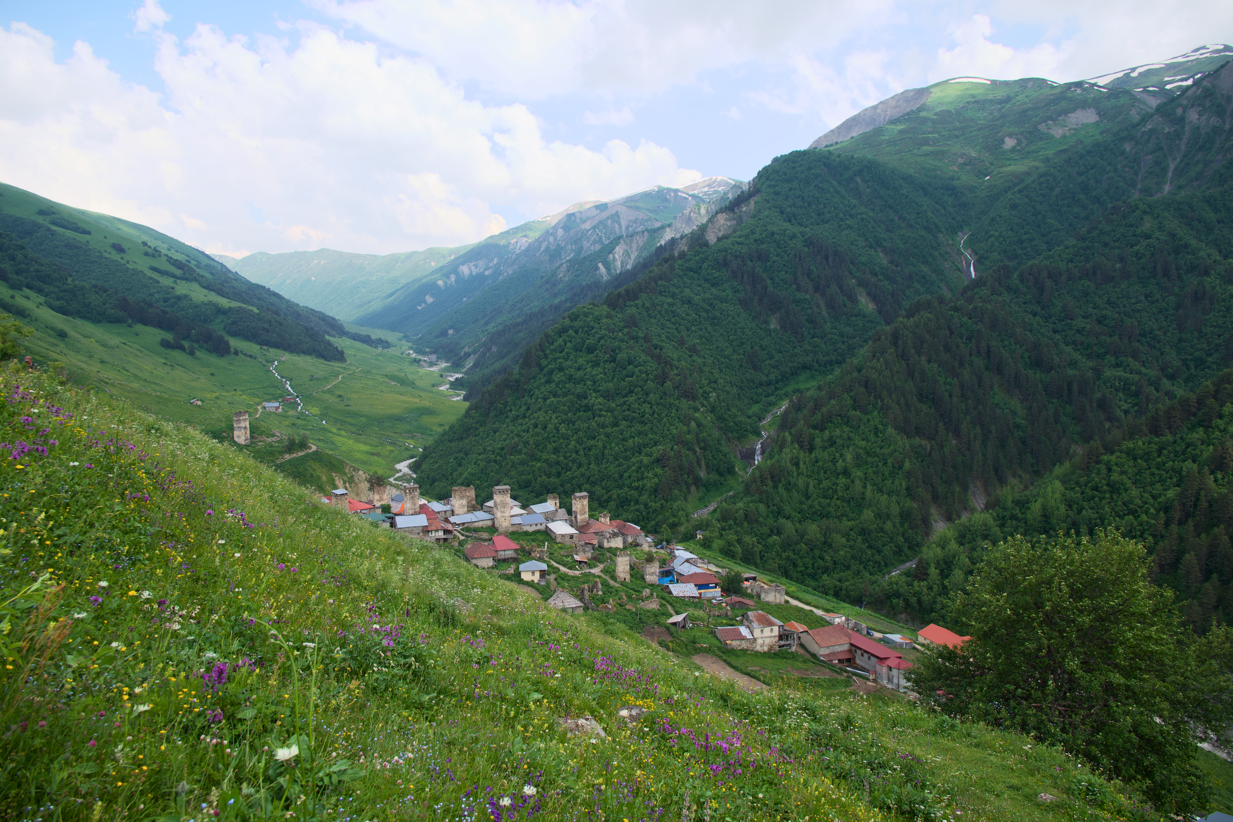
The trail climbs steadily along the slopes of Tetnuldi, passing the ski resort of the same name, its lift infrastructure sitting oddly empty in the middle of summer, before dropping through birch forest and rhododendron into wide alpine meadows. Adishi itself is one of the more remote, less-modernized villages on the route, with stone towers that look largely untouched by the last century, and it's one of the more atmospheric overnight stops precisely because of that isolation. Don't expect much wifi, and don't expect much beyond your guesthouse and a handful of neighboring towers.
Day 6: Adishi to Iprali, and the river crossing
Distance: 19 km / 11.8 mi
Elevation: +754 m / 2,474 ft, -870 m / 2,854 ft
Time: ~8 hours
Difficulty: Hard
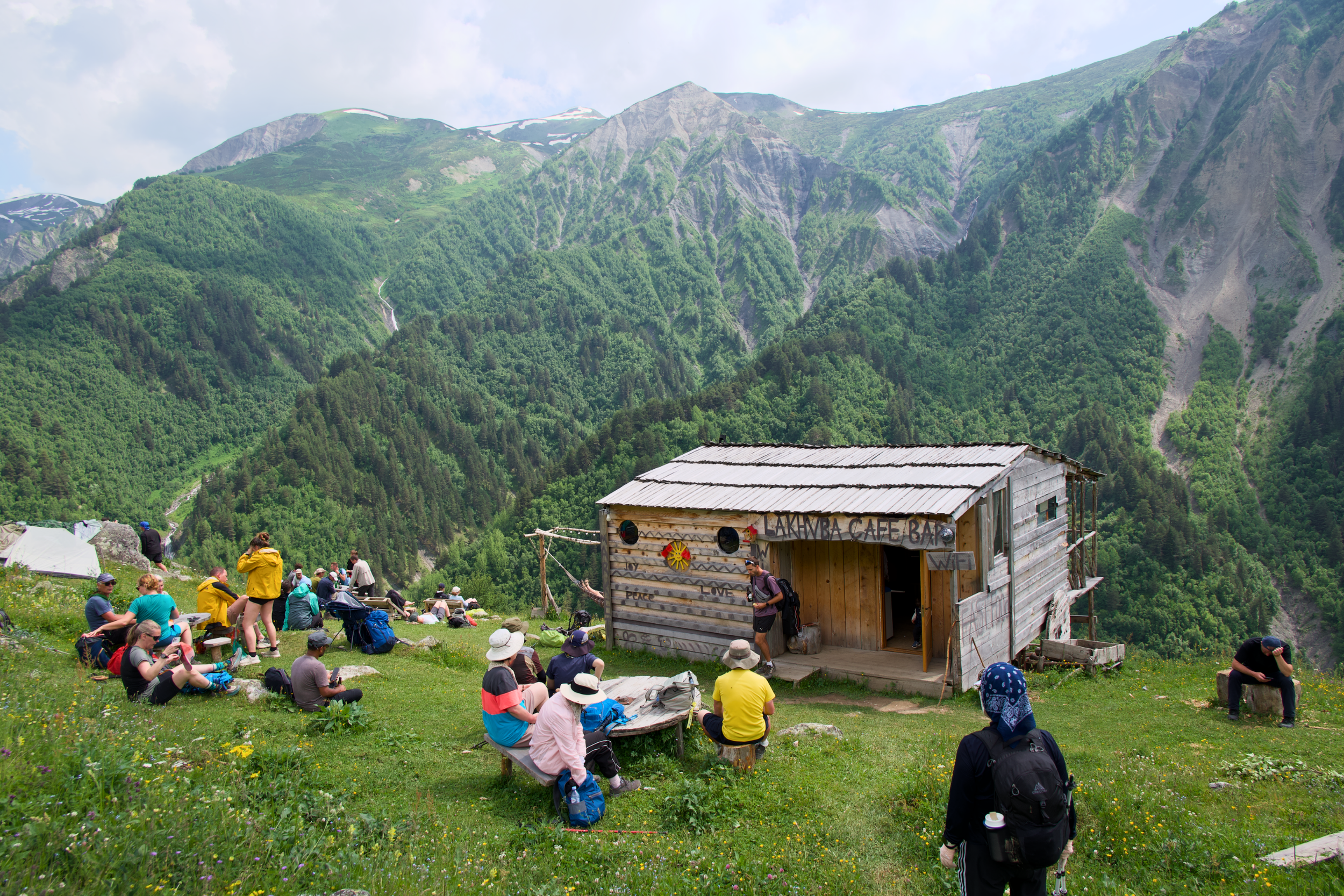
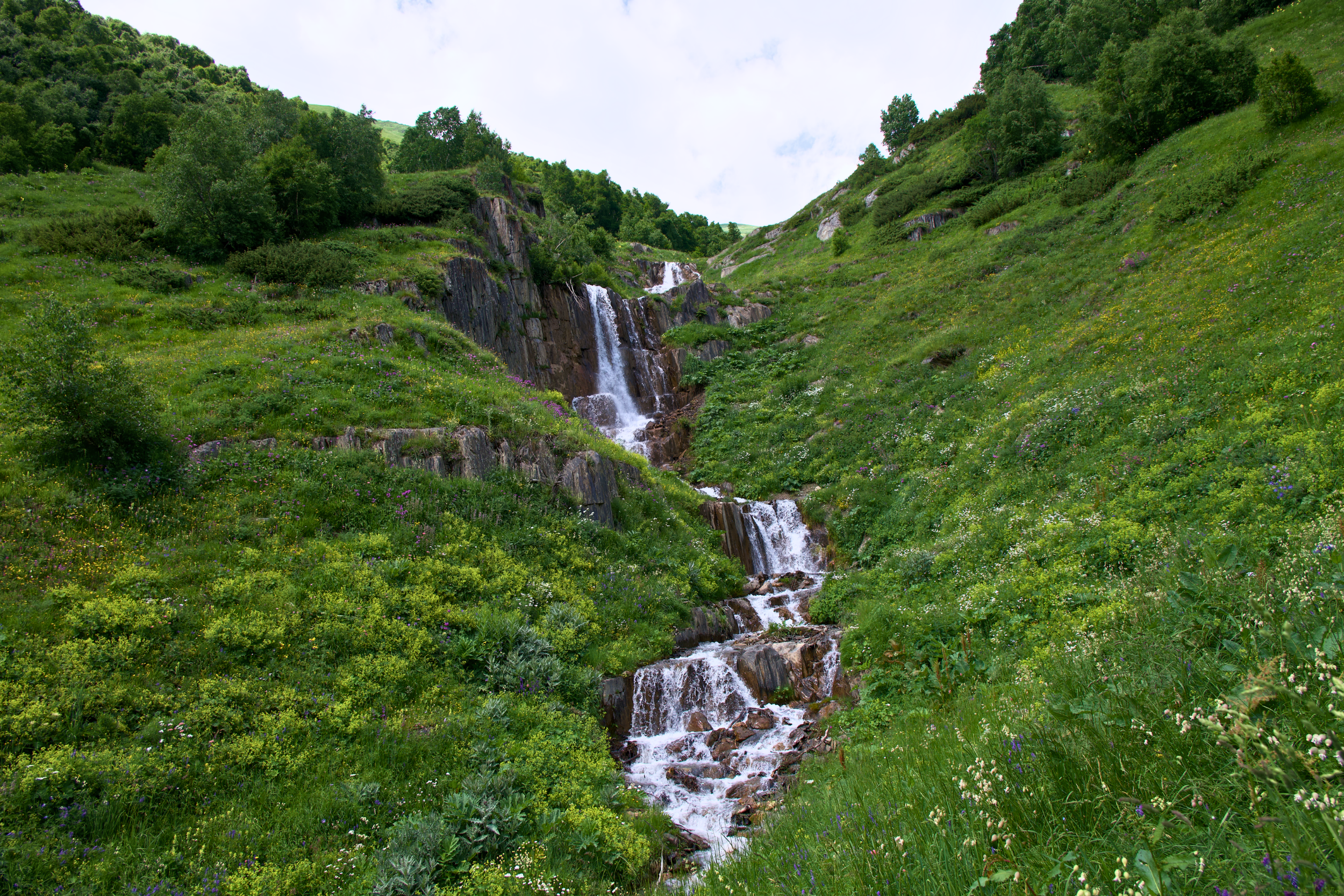
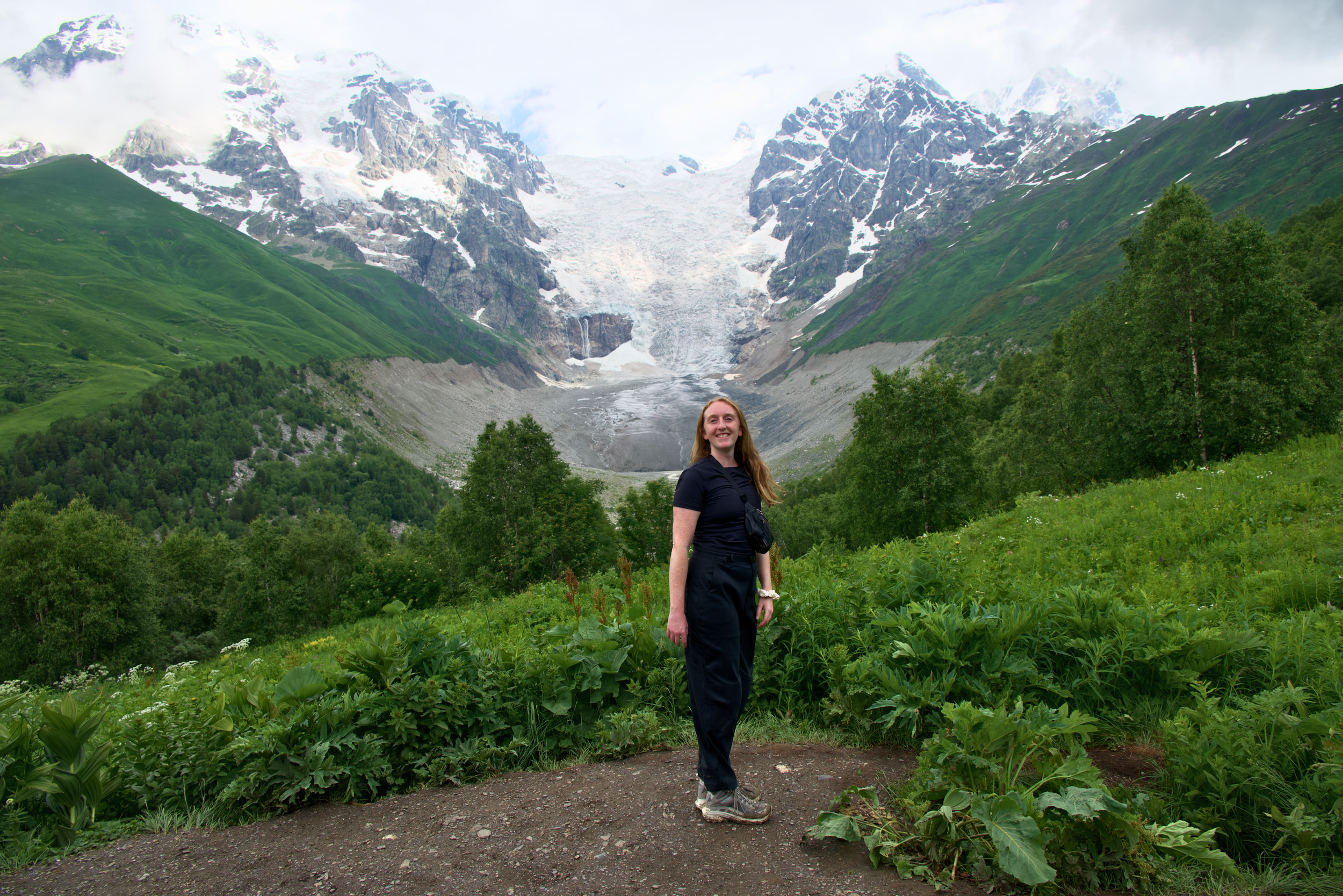
This is the day most people ask me about: the Adishi River crossing. It's done on horseback, arranged each morning by the guesthouses in Adishi and led by local handlers who cross this stretch daily, and it turned out to be one of the easier moments of the trek, not the white-knuckle event some trip reports make it sound like. Timing matters, since the river runs higher in the afternoon as glacial meltwater increases through the day, so an earlier start pays off. After the crossing, the trail climbs steadily, not brutally, to Chkhunderi Pass at 2,655 meters (8,711 feet) with views over the Adishi Glacier that rank among the best on the entire route, then descends past the ruins of Khalde village, destroyed in the 19th century and never resettled, into Iprali. The descent is long and knee-testing; poles help more here than almost anywhere else on the trek, and between the crossing, the pass, and the descent, this is the longest day by distance, so pace yourself accordingly.
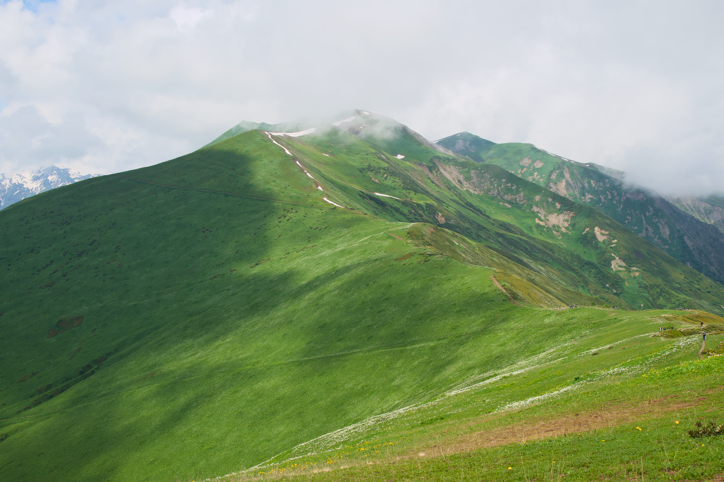
Day 7: Iprali to Ushguli, the highest village in Europe
Distance: 12 km / 7.5 mi
Elevation: +510 m / 1,673 ft, -440 m / 1,444 ft
Time: ~4.5 hours
Difficulty: Moderate
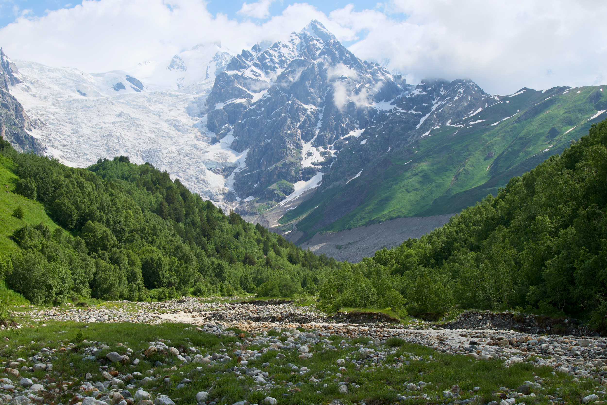
The final trekking day is the shortest and, for most people, the most anticipated: an easier, shorter walk following the valley floor more than climbing out of it, through Kala and Davberi, which makes it a natural day to slow down rather than push for distance. Shkhara comes into view gradually rather than all at once, so keep looking up as you walk. Ushguli itself, a cluster of four villages at 2,200 meters (7,218 feet), is recognized by UNESCO as one of Europe's best-preserved medieval mountain settlements and is the highest permanently inhabited village on the continent, sitting below Mount Shkhara (5,203 meters / 17,070 feet), Georgia's tallest peak. Plan to arrive with enough afternoon left to explore properly, including the Ushguli Ethnographic Museum, housed in a 12th-century tower, and the Lamaria Church above the village; it deserves more than a quick look after six days on the trail to reach it.
Day 8: Ushguli back to Tbilisi
Drive time: ~10 hours
The trek ends where the road does: an early departure to make the most of the day, one last look at the towers as you leave Ushguli, then the same long gorge road in reverse back to Tbilisi. Some itineraries build in a night in Kutaisi instead, worth asking about if you'd rather split the drive. It's a good day to download a podcast, sort through photos, and let eight days on the trail settle in before you're back in a city.
How Hard Is the Svaneti Trek, Really
Most of the Mestia to Ushguli trek is walkable by any reasonably fit hiker with multi-day backpacking experience. Daily distances of 12-19 kilometers (7.5-11.8 miles) with 6-8 hours of walking are the norm, and the classic route in particular is well-graded and clearly marked.
The one day that deserves real respect is Guli Pass, if you're doing the extended route. Just over 1,600 meters (5,250 feet) of ascent in a single day, at altitudes brushing 2,960 meters (9,710 feet), is a serious mountain day by any measure. Go slow, start early, and don't treat it as a day to push a personal pace record. Taken deliberately, it's hard but entirely doable, not a technical climb, just a long, steep, high one.
Every day except the Guli Pass crossing, there was a hut somewhere on the trail selling food or at least water. On Guli Pass, there wasn't, which made it the one day that demanded full self-sufficiency: carry what you need, because no one is selling it to you up there.
Trekking poles earn their weight on the descents in particular, several of which drop several hundred meters over a few kilometers. A daypack in the 30-35 liter range is enough if your main luggage is being transported between guesthouses, which is standard on guided itineraries.
If you're training beforehand, prioritize sustained climbing over flat-ground distance. A few months of regular hill walking or stair climbing with a loaded daypack will prepare you better for Guli Pass than running the same mileage on level ground. Comfortable with 6-8 hours of continuous walking, several days in a row, is a more useful benchmark than any single-day distance record.
Where You'll Sleep and Eat Along the Trail
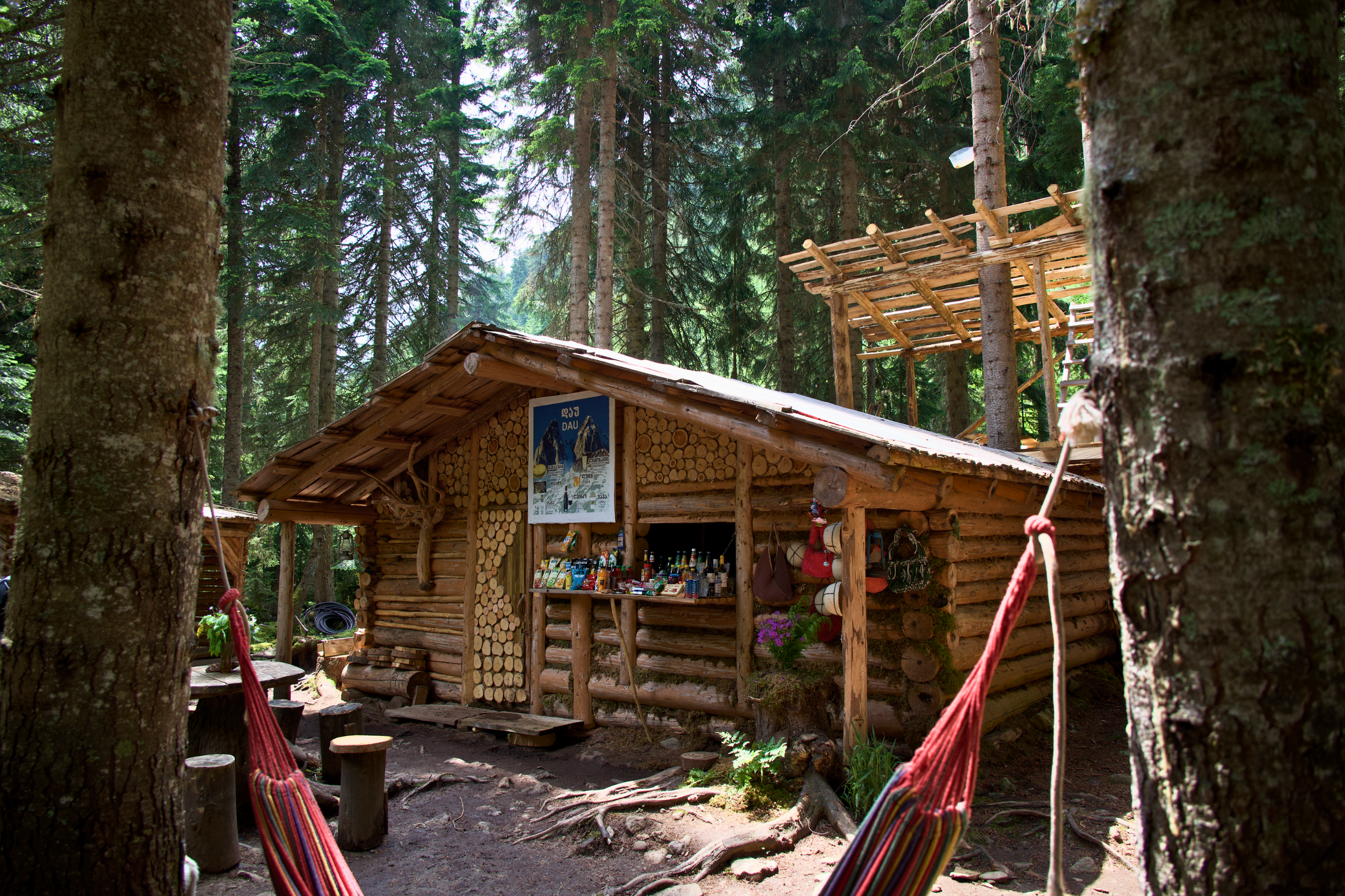
Every night on the extended Mestia to Ushguli trek is spent in a guesthouse, not a tent, which is part of what makes the route so approachable. Rooms in Mazeri and Mestia tend to have private bathrooms; villages further along the trail, like Zhabeshi, Adishi, and Iprali, are more often shared-facility setups. None of it is luxurious. All of it is warm, well-run, and family-operated.
The food is, without much competition, one of the best reasons to do this trek. Dinners are homemade, generous, and built around whatever the family is growing or raising that season, and the local wine lived up to Georgia's reputation as one of the oldest winemaking countries on earth every single night. A few guesthouses had dogs that fell in alongside us for stretches of the trail on their own initiative, which I did not expect and loved.
Our Guesthouses Each Night of the Trek:
Mazeri: Hotel Lamala
Mestia: Lileo Inn Hotel
Adishi: Guesthouse Caucasioni
Ushgulii: Hotel Panorama Ushgulii
Cash matters here. Mestia has two ATMs and a couple of currency exchange counters, and machines can go offline during power outages. The smaller villages along the trail don't take cards at all, so withdraw or exchange what you'll need before you leave Mestia.
Meals lean heavily on Svan and broader Georgian staples:
Khinkali dumplings
Khachapuri, in more regional variations than you'd expect
Lobio (bean stew), served in its own clay pot
Kubdari, a Svan meat-filled bread specific to this region and worth seeking out
Every dinner came with wine poured generously and refilled without asking, from a country that has been making it in qvevri clay vessels for roughly 8,000 years.
What It Costs to Trek in Svaneti
Svaneti is affordable relative to comparable trekking in the Alps or Pyrenees, but the costs add up differently depending on whether you go guided or independent.
Guesthouse (per person, per night, with breakfast and dinner): ~100-150 GEL, roughly €35-50
Horse transport for luggage between villages: ~100-150 GEL for the full route
Direct marshrutka, Tbilisi to Mestia: ~50 GEL one way
Vanilla Sky flight, Tbilisi to Mestia: ~90 GEL one way
8-day guided small-group tour, all-inclusive: from ~$1,240 per person (this is the small-group tour I booked my trek through)
Independent trekkers can bring the daily cost down close to the guesthouse rate alone, since transport, entrance fees, and horse-crossing logistics are the main variables. Going with one of the small-group Georgia trekking tours costs more up front but bundles round-trip transport, meals, permits, and the Adishi River crossing into one price, which is worth it if you'd rather not coordinate eight days of village-to-village logistics yourself. Bring a card with no foreign transaction fees for the Tbilisi end of the trip, since the trail itself runs almost entirely on cash.
Guided vs. Self-Guided: Which Should You Choose
Both approaches work, and plenty of hikers do this trail each way.
Guided trekking tours handle transport from Tbilisi, guesthouse bookings, luggage transfers between villages, and the Adishi River crossing logistics. You also get a guide who knows the trail conditions day to day, which matters most on the Guli Pass section, where markings thin out. This is the better choice if it's your first time hiking in the Caucasus, if you're short on planning time, or if you'd rather not navigate river crossings and border permits solo.
You can find what company I used in the link here - I highly recommend using this tour company to book your trek.
Self-guided trekking costs less and runs on your own schedule. The classic Mestia to Ushguli route is well marked enough that most fit, experienced hikers manage it independently with an offline map app. You'll book your own guesthouses a village at a time (or ahead of time in peak season), sort your own transport to Mazeri or Mestia, and arrange the Ushba border permit yourself in Mestia. The extended route with Guli Pass is a bigger ask self-guided, since the markings are thinner and there's no water or huts on that stretch.
Getting to Svaneti From Tbilisi
Mestia sits roughly 450 kilometers from Tbilisi, and getting there is its own logistics puzzle. Four realistic options, plus a fifth for anyone driving themselves:
Direct marshrutka (shared minivan): the budget option, around 10 hours, departing from Tbilisi's Didube area
Train to Zugdidi, then marshrutka or taxi: a comfortable middle option; roughly 6 hours by rail plus 3-3.5 hours by road, with the option to break the journey overnight in Zugdidi
Vanilla Sky flight: about 40 minutes from Natakhtari airfield near Tbilisi, by far the fastest option, but small prop planes mean weather cancellations are common; build in a buffer day if you fly
Private transfer: door to door in roughly 8 hours, the easiest but most expensive way to cover the distance. (You can book this option in advance)
Self-drive rental: the road is paved most of the way with some rough, steep sections near Mestia; a 4x4 is strongly recommended over a standard sedan
If your itinerary is guided, as mine was, this whole logistics chain is usually handled for you, round trip, which is one of the better arguments for booking a small-group tour over a fully independent Svaneti trekking trip.
Most people build this trek into a longer loop rather than a standalone trip, since the drive alone makes a there-and-back visit an odd use of time. Tbilisi on either end is the obvious anchor, but Kutaisi has grown into a legitimate alternative gateway since the newer Lentekhi road opened, and it cuts real hours off the drive if you're flying into Georgia through Kutaisi International Airport instead of Tbilisi. Batumi, on the Black Sea, is another common bookend for travelers stitching Svaneti into a wider Georgia trekking tours itinerary that mixes mountains with a few coastal days at the end.
Svaneti vs. Tusheti: How the Two Compare
Svaneti isn't the only serious trekking region in Georgia, and it's worth knowing where it sits relative to the other big name: Tusheti, on the opposite side of the country. Tusheti is smaller in tourist infrastructure, its roads open later in the season, usually not until June, and its trails see a fraction of Svaneti's foot traffic, which makes it the pick for hikers who want isolation over convenience.
Svaneti, by comparison, has the better-developed guesthouse network, the more famous villages, and an easier logistics chain from Tbilisi, which is why it tends to be the first Georgia trek most people book. Both regions share the same defensive stone towers and clan history, but Svaneti's are more numerous and better preserved, largely because Upper Svaneti was UNESCO-listed decades earlier than anywhere in Tusheti. If this is your first trip to Georgia's mountains, Svaneti is the more forgiving introduction. If you've already done Svaneti and want something wilder, Tusheti is next on the list.
What to Pack for Trekking in Svaneti
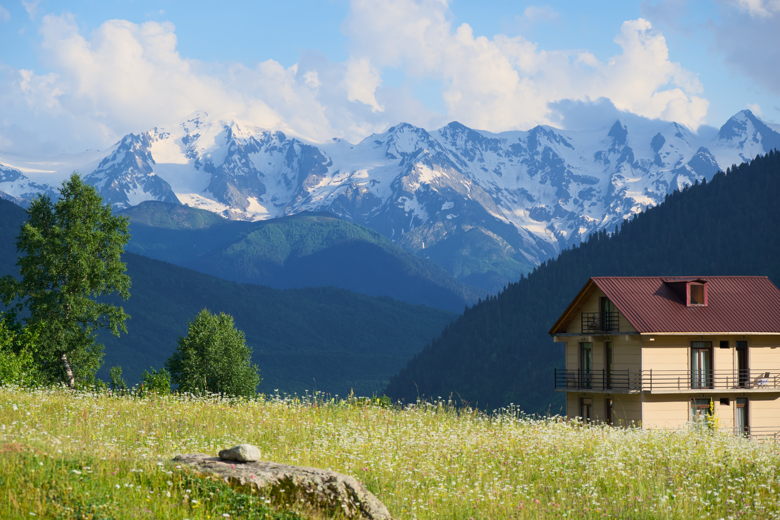
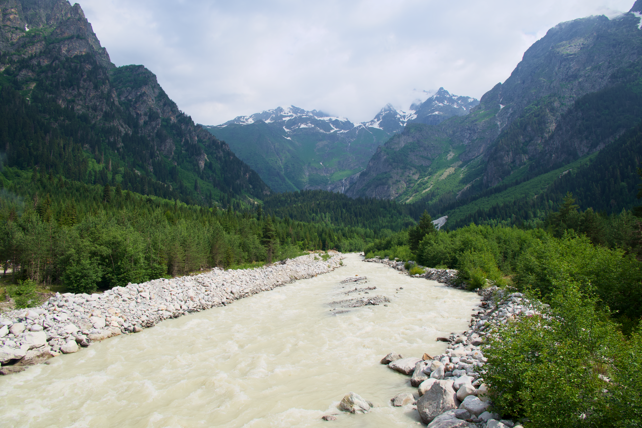
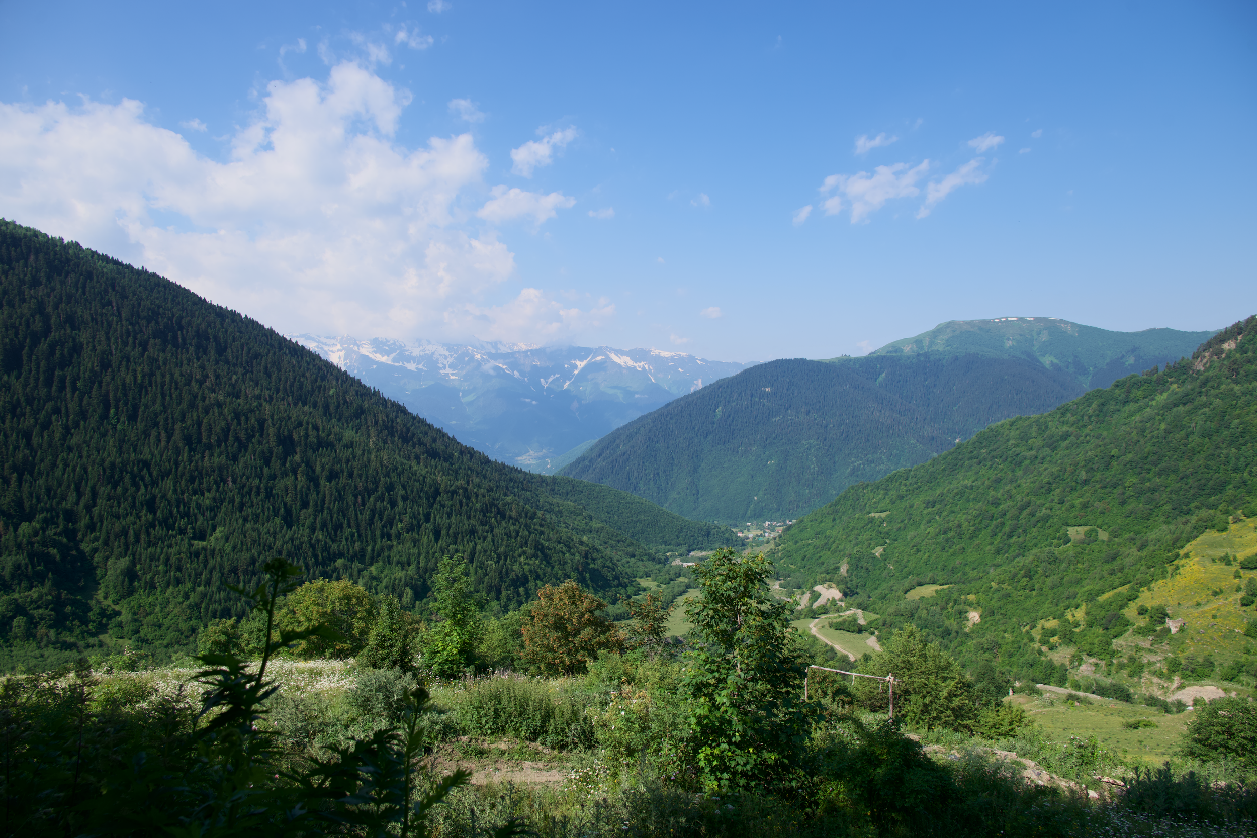
Layering is the whole packing strategy here. Even in mid-July, mornings at altitude were cold enough for a fleece, afternoons on exposed ridgelines were warm enough for short sleeves, and there was still old snow to walk through on the highest section of trail. Plan for all of it, in the same day.
Broken-in hiking boots with ankle support, not trail runners, for the descents (Men’s & Women’s hiking boots)
Trekking poles, especially for the Guli Pass day
A lightweight rain shell; Caucasus weather turns fast (women’s& men’srain jackets)
A warm mid-layer for cold mornings and evenings at altitude (women’s& men’sjackets)
Sun protection: the July sun at 2,000+ meters is stronger than it feels
A refillable water bottle or bladder; not every day has a hut selling water
Cash in Georgian lari for guesthouses and small villages
A local eSIM or data plan; coverage was better than expected across most of the route
If you're bringing a camera beyond your phone, weigh it against the climbing days before you pack it. A mirrorless body with one versatile zoom covered every scene on this trek better than a bag full of primes would have, and it's the difference that matters most on an 8-hour day with 1,600 meters of ascent. A dry bag or rain cover for it is not optional; the weather on Guli Pass and the Koruldi Ridge changes fast enough that you won't always see it coming.
Practical Tips for Trekking in Svaneti
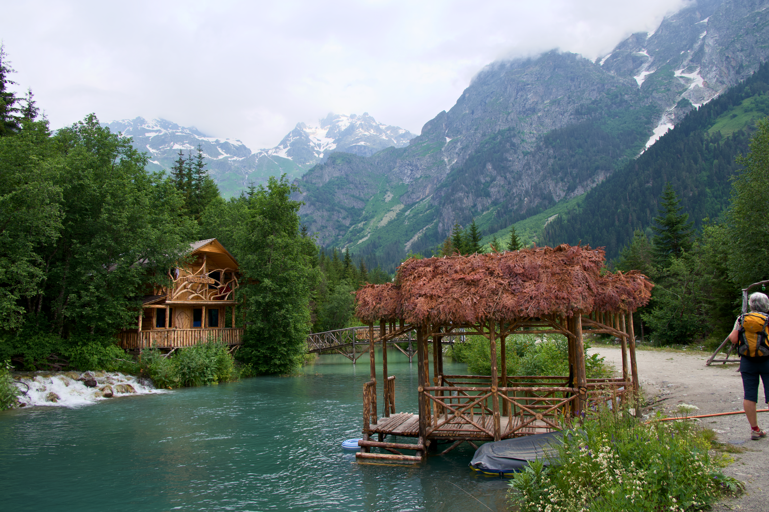
Entry requirements: many nationalities can enter Georgia visa-free for tourism, but rules vary by passport and do change, so confirm current requirements for your country before booking
Mandatory travel insurance: since January 2026, all foreign tourists need proof of health and accident insurance covering their full stay, minimum 30,000 GEL in coverage, to enter Georgia; keep a copy on your phone and in print
Border permit near Mazeri: the trail past Ushba Waterfall sits close to the Russian border, and hikers need a free permit from the Mestia tourist office or police station to continue past that point; guided tours handle this for you
Emergency number: 112 connects to police, fire, and ambulance across Georgia, with English-speaking operators generally available
Altitude: the extended route tops out just under 2,960 meters (9,710 feet). Not extreme, but enough to notice on a hard climbing day; hydrate accordingly
Connectivity: cell service reached further into the mountains than expected, including on parts of the trail itself, though don't count on it in every village
Motion sickness: the mountain roads on both travel days are winding and rough; pack motion sickness tablets if you're at all prone to it
Small bills: keep a stock of 5 and 10 GEL notes for trailside cafes and guesthouse extras; a 20 GEL note can be hard for small villages to break
Tipping your guide: not required, but if you go guided and had a good experience, budgeting roughly 10 percent of the trip cost as a tip is standard practice
Trail dogs: you'll meet friendly dogs in nearly every village; feeding them encourages them to follow hikers away from home, so admire from a distance instead
Solo travelers: the route is considered safe for solo hikers, including women, and guesthouses are used to travelers arriving alone; sticking to official guesthouses and staying near other hikers on the quieter stretches is standard, sensible practice
Booking timing: guesthouse beds fill up in July and August; book your route, guided or independent, before you book flights
Common Mistakes First-Time Svaneti Trekkers Make
Underestimating the drive. Tbilisi to Mestia is 8-10 hours by road. Treat travel day one as a travel day, not a hiking day, and don't schedule anything demanding immediately after.
Skipping the buffer day around a Vanilla Sky flight. The flight is fast when it runs, but it's grounded by weather often enough that booking a same-day connection on either end is a real risk.
Assuming every village has an ATM. Only Mestia does, reliably. Pull out enough Georgian lari before you start walking.
Packing for one type of weather. Mid-July still had snow patches above 2,800 meters. Layer for a 20-degree swing across a single day, not just for the forecast in Mestia.
Booking guesthouses too late in July or August. The classic route in particular fills up in peak season; reserve your route before you lock in flights.
If You Don't Have 8 Days: Shorter Ways to See Svaneti
Not everyone has a week to spare, and the full trek isn't the only way to experience this region. Based in Mestia, several worthwhile hikes run as single-day trips: the walk to Chalaadi Glacier is an easy 4-5 hours round trip through forest to a glacier face you can approach on foot, and the cable car up to the Hatsvali ski area gets you to a high alpine viewpoint over the Mestia valley without any real climbing at all. Ushguli itself is reachable by 4x4 in about 2.5 hours from Mestia, which means you can see the UNESCO village, the towers, and Mount Shkhara without walking a step of the trail, if time is the constraint rather than fitness.
A 4-day version of the classic Mestia to Ushguli trek is the natural middle ground: enough days to properly experience village-to-village trekking and the Adishi River crossing, without the Guli Pass day that makes the extended route a bigger commitment. If you're weighing a shorter trip against the full 8 days, that 4-day classic route is where I'd point most first-time visitors.
Wildlife, Livestock, and Trail Company
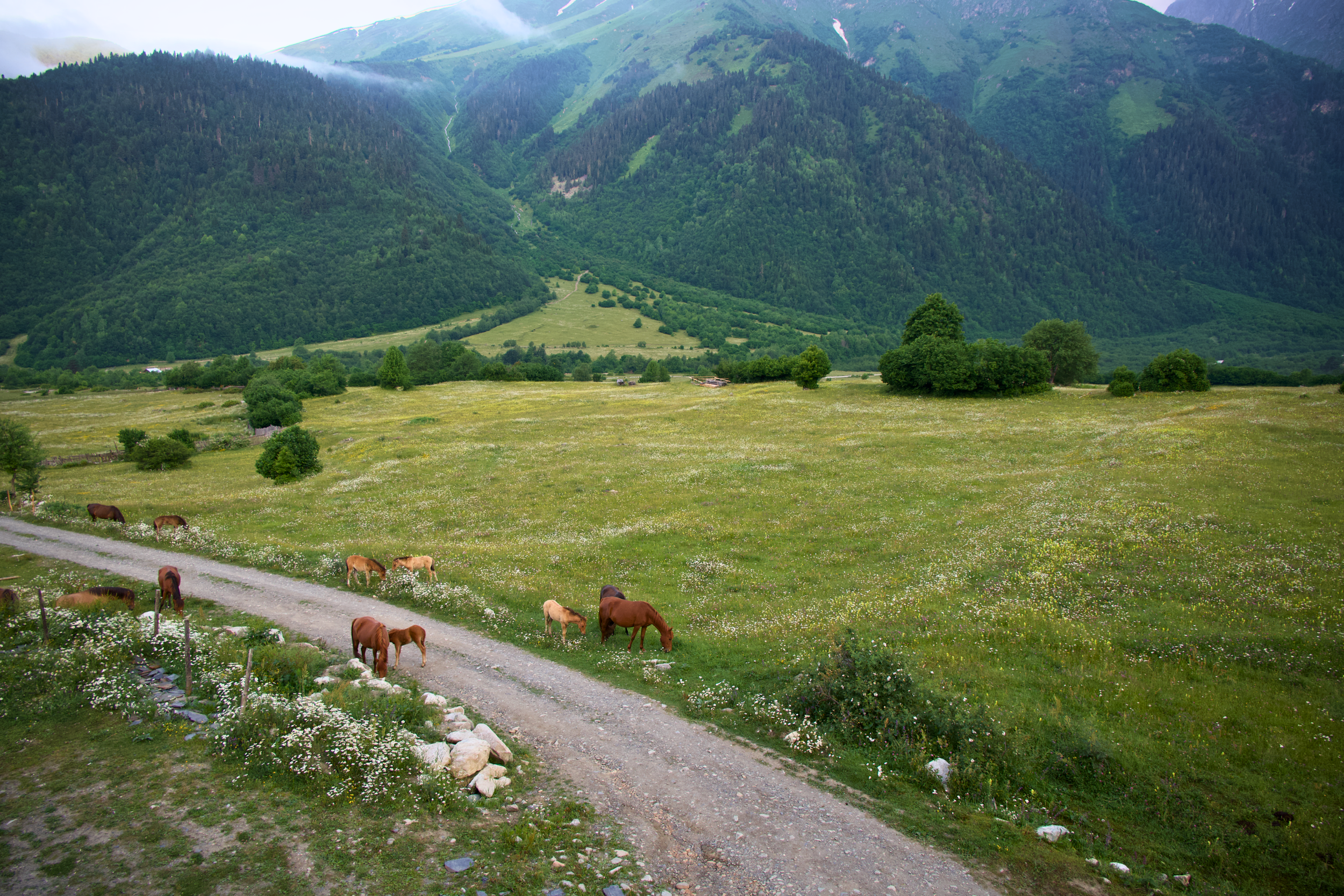
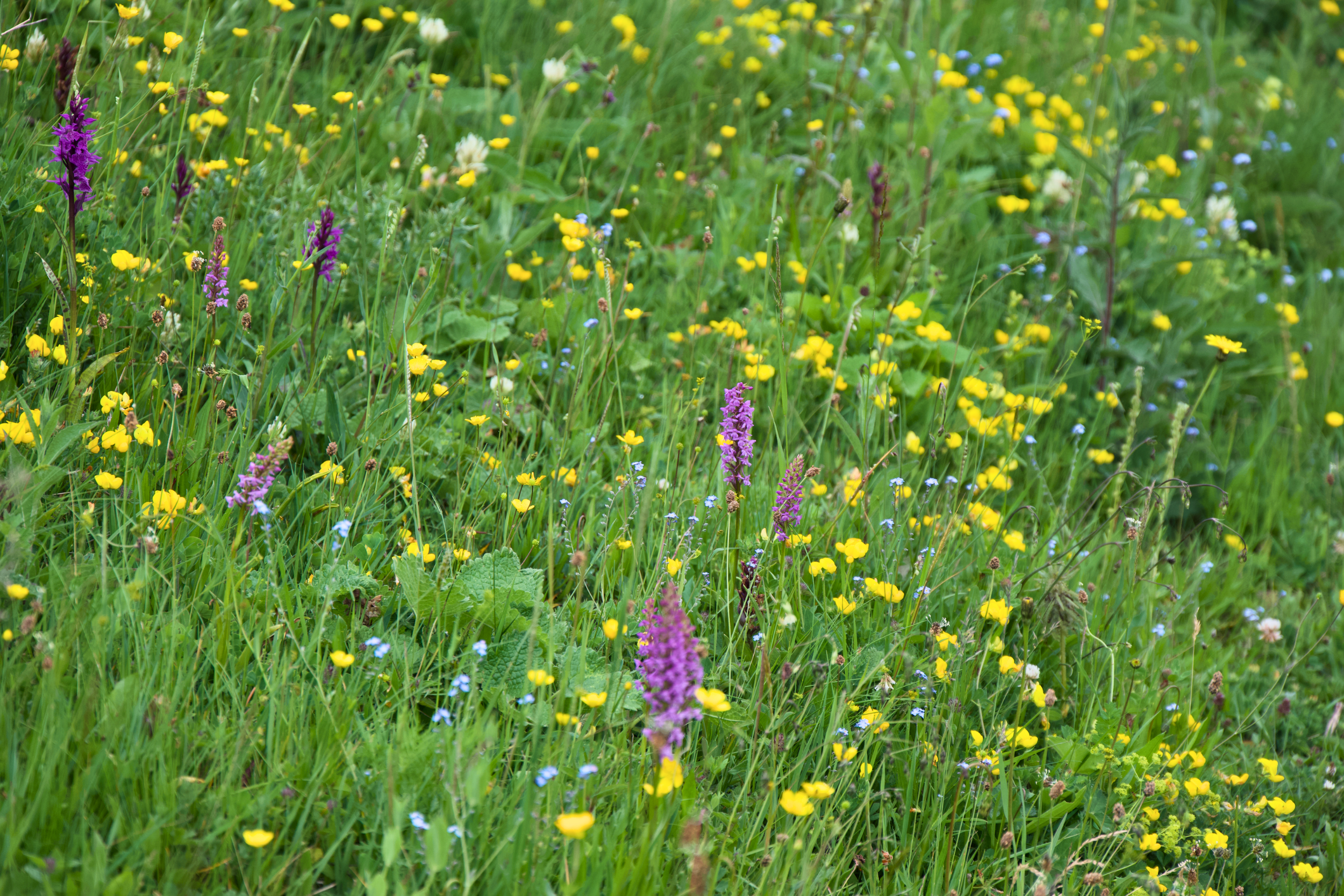
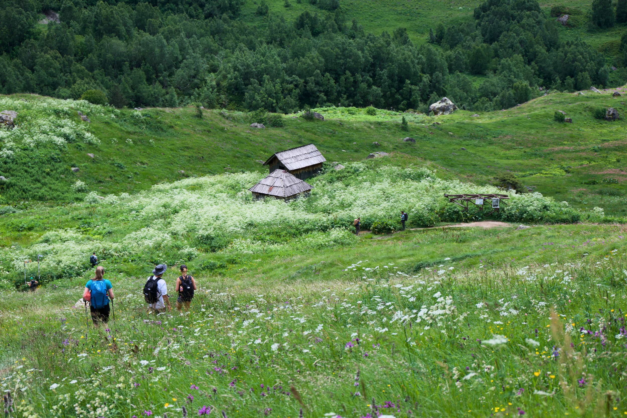
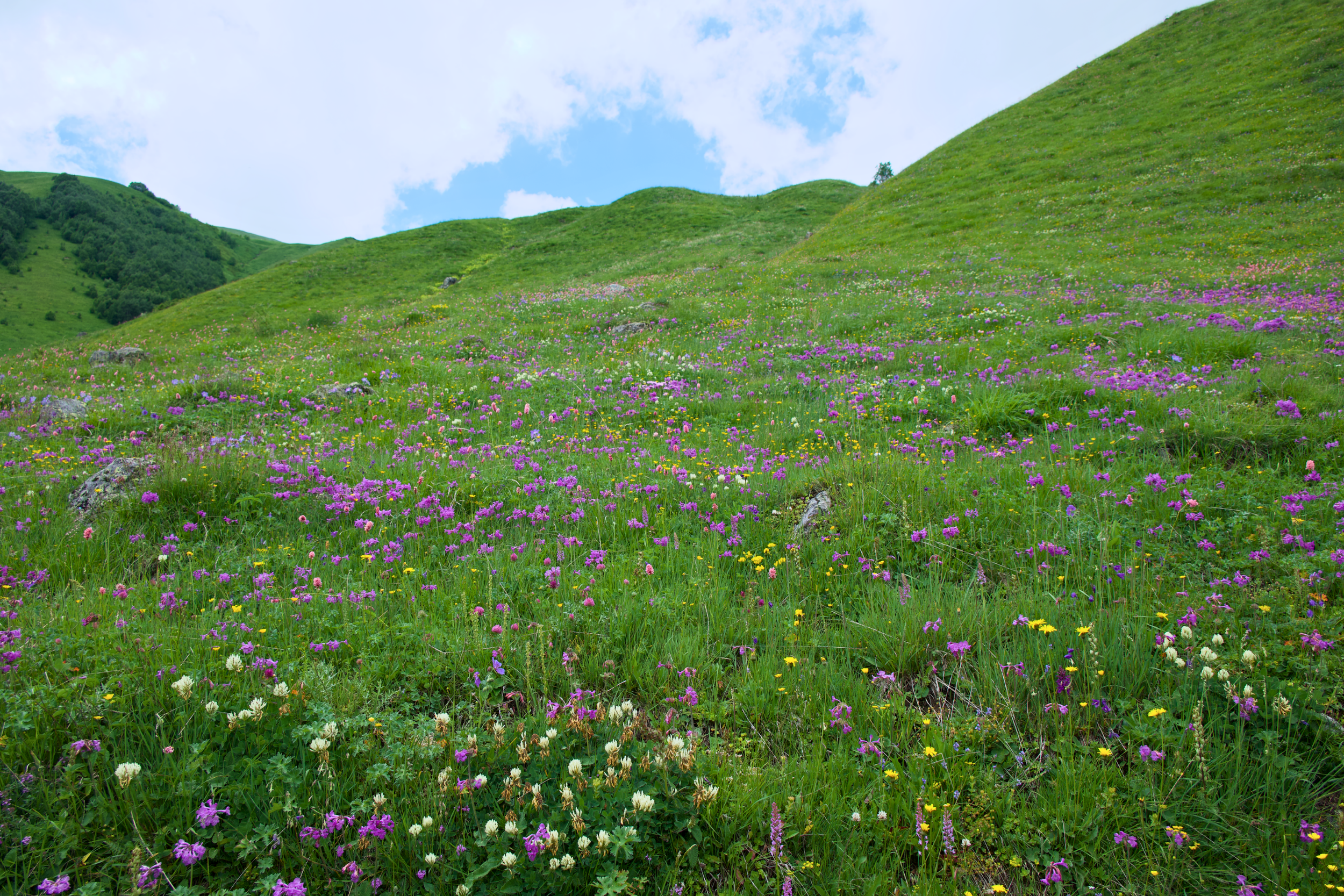
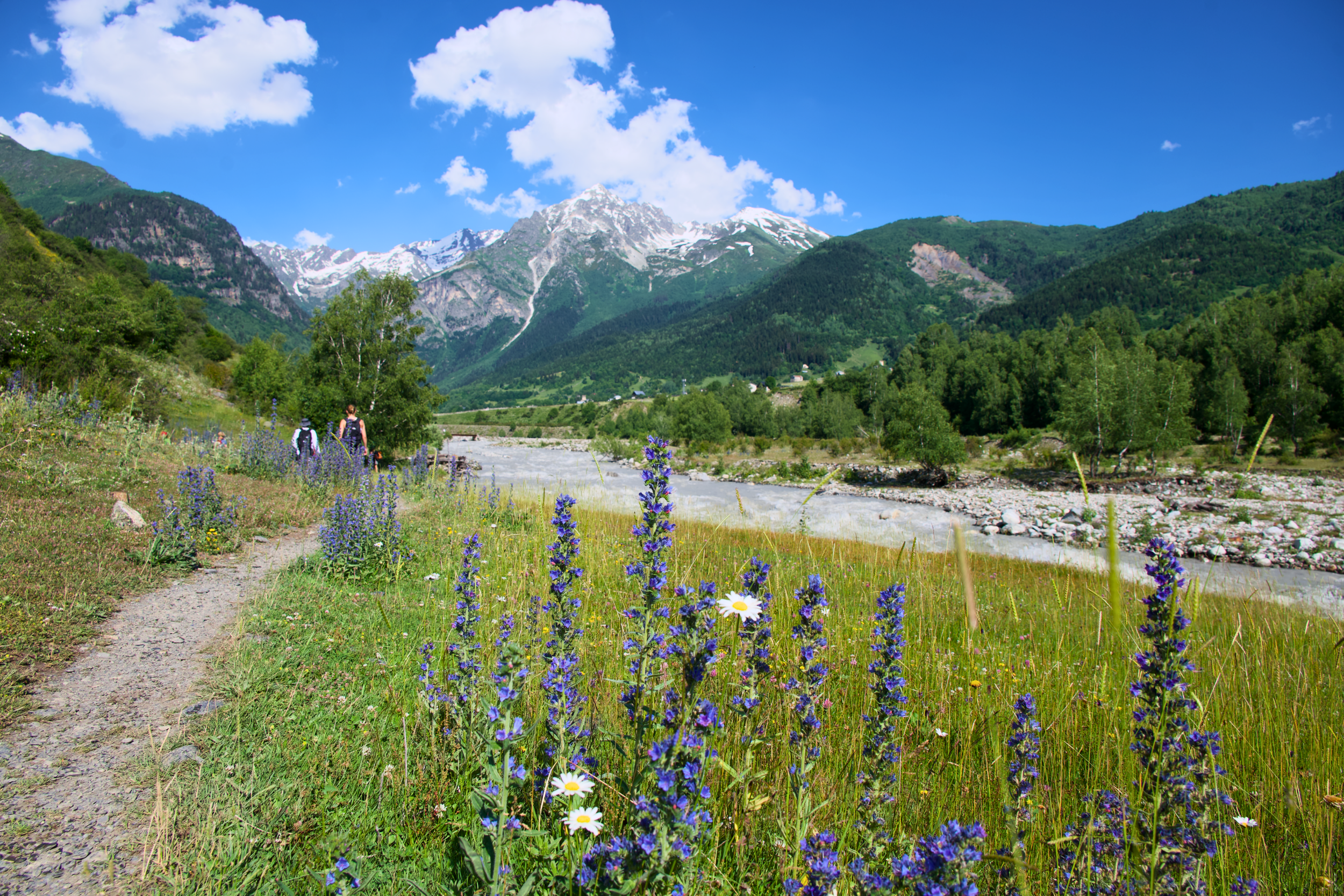
Nobody warns you about the cows. Free-roaming cattle graze right along the main Mestia to Ushguli trail, and you'll share the path with them more days than not, usually at a respectful, mutual distance. Alpine meadows through the Mulakhi valley and around Adishi fill with wildflowers by mid-summer, which is as much a part of the scenery here as the towers and glaciers.
Then there are the dogs. Several of the guesthouses along the route have dogs that seem to consider hiking with guests part of the job, and on more than one day, a guesthouse dog fell in beside us and stayed for a few kilometers before turning back on its own. It's not something any tour operator advertises, and it's not guaranteed on any given day, but it was one of the small, unplanned details that made the trail feel less like a managed route and more like a place where people, and their dogs, live.
Ready to Book Your Georgia Trip?
Save this guide, start with the full weekend, and let this part of Georgia surprise you. Trust me, it will.
Questions about Georgia? Send me a message on my social channels. I read everything and genuinely enjoy talking about this part of Georgia. If you've been to this part of Georgia, tell me what I missed. There's always more.
Svaneti, Georgia Trekking: Frequently Asked Questions
-
The classic route is moderate, with long walking days but no technical climbing. The hardest single day on the extended route is the Guli Pass crossing, with roughly 1,600 meters (5,250 feet) of ascent to nearly 2,960 meters (9,710 feet). Taken at a slower pace, it's tough but doable for a fit, well-prepared hiker.
-
No, the classic Mestia to Ushguli route is well marked and can be hiked independently. A guide is worth it for the extended route through Mazeri, Guli Pass, and Adishi, where trail markings thin out and river crossings require local knowledge, especially the Adishi River crossing.
-
Mid-June through September is the reliable trekking window. July and August are warmest and busiest, with the most stable weather but the biggest crowds. September offers fewer hikers with still-good conditions, and early October brings golden autumn light before trails close for the season.
-
Four main options: a direct marshrutka that takes about 10 hours, the train to Zugdidi followed by a marshrutka or taxi, a Vanilla Sky flight that takes about 40 minutes but is weather dependent, or a private transfer that runs roughly 8 hours door to door.
-
Svaneti is considered safe for tourists, including solo travelers, with rare violent crime. The main risks are environmental: landslides after heavy rain, flash floods in valleys, and cold exposure at altitude. Georgia's emergency number is 112, and travel insurance that covers high-altitude trekking is now required.
The Scenic Route Traveler inspires intentional travel through storytelling, hidden gems, and culturally rich experiences around the world.
-
I’m Erin, the voice behind Scenic Route Traveler, sharing intentional travel stories and guides from around the globe.
-
We deliver travel guides and storytelling through YouTube, social media, photography, and digital products designed for fellow travelers.
-
If you’re new here: this is a space for travelers who care more about how a place feels than how it looks on a checklist. You’ll find guides, stories, and resources designed to help you slow down and travel with intention.